Airstrip Info
| Frequency | 122.90 |
|---|---|
| Elevation | 3946 ft |
| Lat/Long |
38.5293, -109.9946 38° 31.758' , -109° 59.676' |
| Runway 15/33 |
2100 ft
x 25 ft
Dirt Rwy 33 Uphill 0.7% |
| Ownership | BLM |
Amenities
Weather
See more at the National Weather Center
Information updated November 27, 2022 @ 9:17am
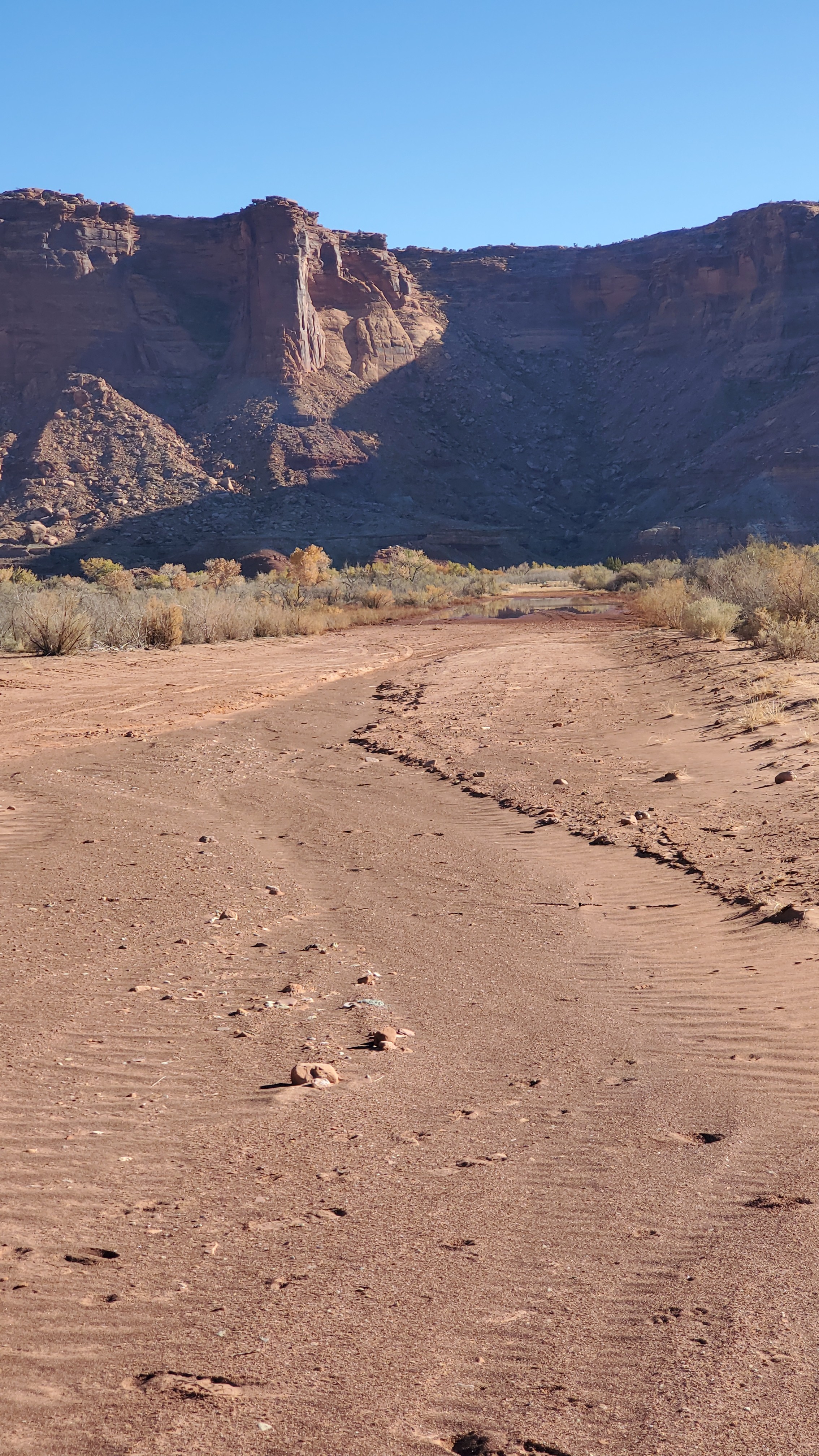
Description: Mineral Canyon's airstrip resides in the Green River canyon just south of the Bowknot Bend. River has a tendency to flood during the summer, so a thorough review of the airstrip prior to landing is imperative. Mineral Canyon is one of the three back country airstrips included in the State's "FLY UTAH Passport Program". To learn more, head to their website.
Runway: 2000 ft long x 40 ft wide dirt runway in generally good condition, however can be quite soft due to its propensity to flood.
Approach Considerations: Airstrip resides inside a canyon with rapidly rising terrain within 1000 feet of the airstrip rising over 1000 feet above the landing surface. Base jumping and other low-level aircraft operating around and near the airstrip. Please monitor CTAF and make position reports regularly.
Amenities: None
Windsock: Yes


We haven't written a history for this airstrip yet. If you would like to provide us with some information about this strip, please contact us today!