Airstrip Info
| Frequency | 122.90 |
|---|---|
| Elevation | 3946 ft |
| Lat/Long |
38.5293, -109.9946 38° 31.758' , -109° 59.676' |
| Runway 15/33 |
2100 ft
x 25 ft
Dirt Rwy 33 Uphill 0.7% |
| Ownership | BLM |
Amenities
Weather
See more at the National Weather Center
Information updated November 27, 2022 @ 9:17am
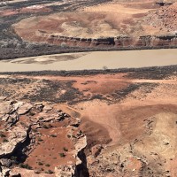
Description: Mineral Canyon's airstrip resides in the Green River canyon just south of the Bowknot Bend. River has a tendency to flood during the summer, so a thorough review of the airstrip prior to landing is imperative. Mineral Canyon is one of the three back country airstrips included in the State's "FLY UTAH Passport Program". To learn more, head to their website.
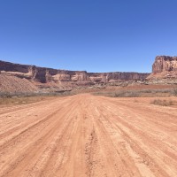
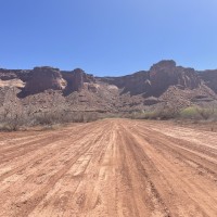
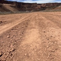
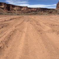
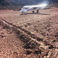
Runway: 2000 ft long x 40 ft wide dirt runway in generally good condition, however can be quite soft due to its propensity to flood.
Approach Considerations: Airstrip resides inside a canyon with rapidly rising terrain within 1000 feet of the airstrip rising over 1000 feet above the landing surface. Base jumping and other low-level aircraft operating around and near the airstrip. Please monitor CTAF and make position reports regularly.
Amenities: None
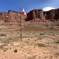
Windsock: Yes
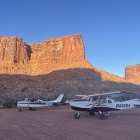
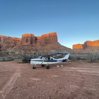
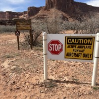
Mineral was quite soft, with some spots that are really soft. Still, doable with larger tires. I had 4 deer run across the runway on landing, with another 2-3 running along the runway in the trees. Luckily between the slow landing speed and soft runway, the deceleration was quick and I didn’t have venison for dinner. The deer were 30 yards from the planes n the tie down area when we woke up the next morning. Numerous cattle on the strip too. One car drove the length of the strip while we were there despite the signs. A cowboy came through in the morning. They may have been collecting their herd.
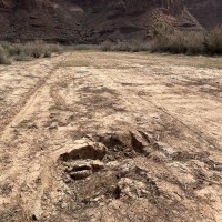
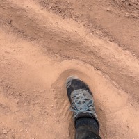
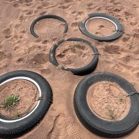
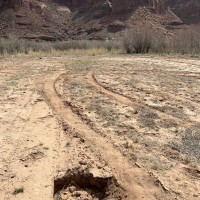
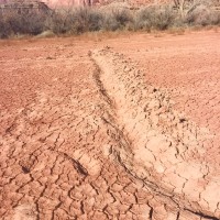
Big thanks to Gary Hilley for working on the parking area...it is fantastic! The majority of the runway is still very soft. From the downstream end where the road meets the runway, to about 150 feet before the first parking turnout, it is soft sand/dirt. The far down stream end is firm, but also has some sinkholes on the right side (looking upstream). After you pass the second parking turnout going upstream, it again becomes very soft...almost moon dust in some locations, and is more like a beach than a runway. The upstream area near the windsock there is a VERY large rut, and the dirt is sandy and soft. Could cause a lot of directional problems. I would exercise extreme caution for anything but large tires/bushwheels. There are firm spots, but they are 200-300 feet and in between large soft/sandy sections. Lots of pictures included.
Runway is dry, Sometimes its hard to tell with the darker color in the middle and the parking area. Someone dug a trench right across the middle of the runway. Possibly to help drain the area??? Hopefully not intending to do harm. I didn't have a shovel so I kicked in the dirt to try to fill it back in but it could still use a little shovel work if anyone gets in the area with a shovel. it is useable as is but tiny tires might get a good bump in the middle.
We haven't written a history for this airstrip yet. If you would like to provide us with some information about this strip, please contact us today!
