Airstrip Info
| Frequency | 122.90 |
|---|---|
| Elevation | 5295 ft |
| Lat/Long |
38.6485, -110.6578 38° 38.91' , -110° 39.468' |
| Runway 18/36 |
3500 ft
x 30 ft
Dirt, brush Rwy 36 Uphill 0.4% |
| Ownership | Goblin Valley State Park |
Weather
See more at the National Weather Center
Information updated April 24, 2023 @ 4:09pm
Temple Mountain
NOTE: The Temple Mountain Airstrip is now located on State Parks land, specifically an extension of the Goblin Valley State Park. State Parks has allowed us to continue to use the airstrip while the UBCP, State Aeronautics, and State Parks work together on developing a plan for continued access of the airstrip. Please be courteous to any Park Officials that may ask you a few questions when operating in and out of Temple Mountain. And as always, thanks for your exemplary stewardship while we work for establishing the first official airstrip within State Parks land.
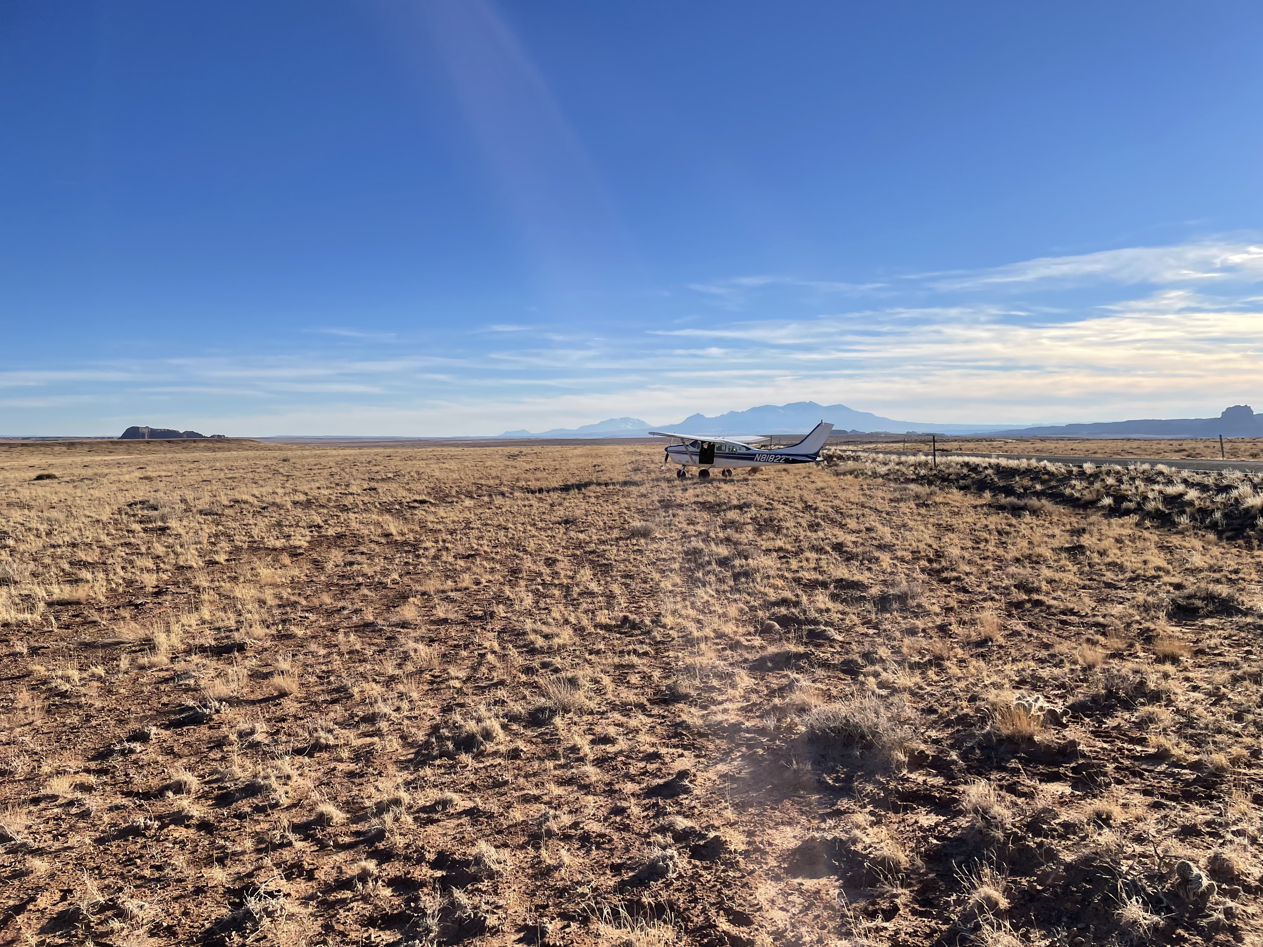
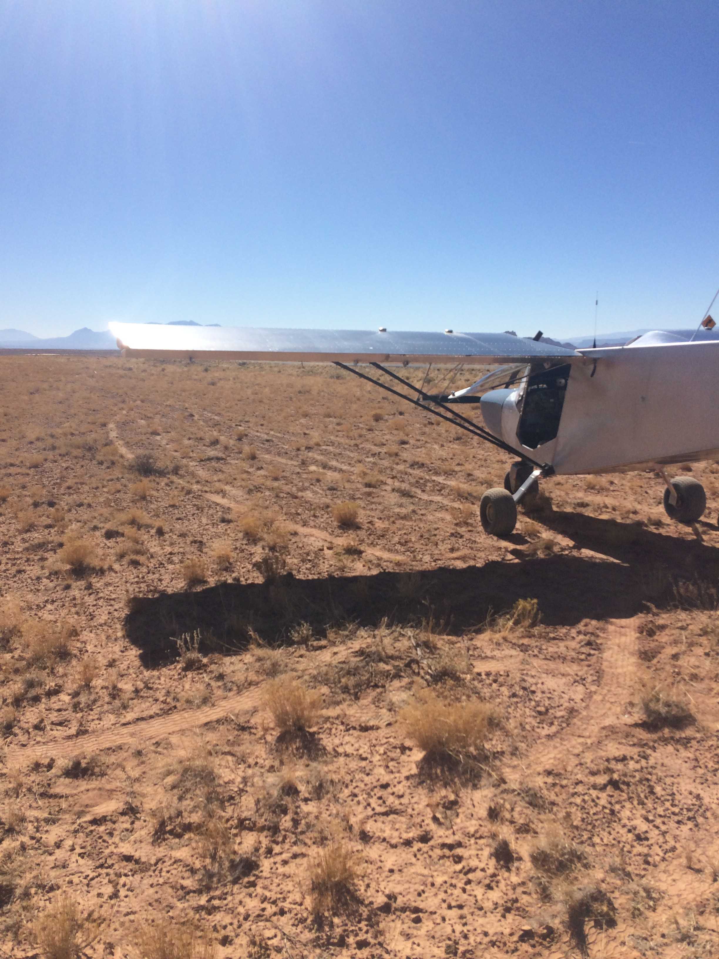
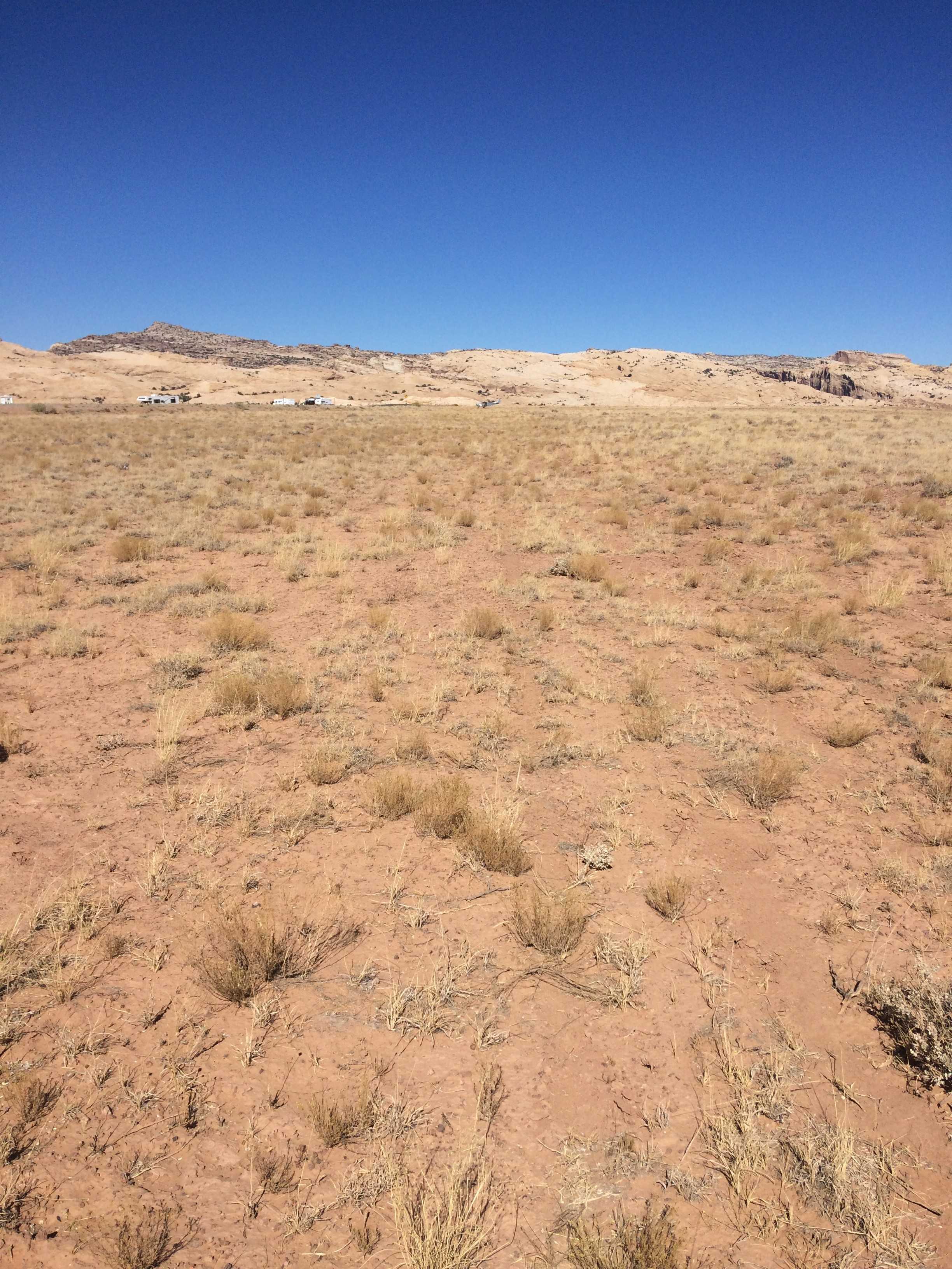
Description: Temple Mountain is a north/south oriented with sporadic clump grass, small bushes and ant hills. The surface is typical Utah desert, slightly soft with some give that can add to takeoff rolls.
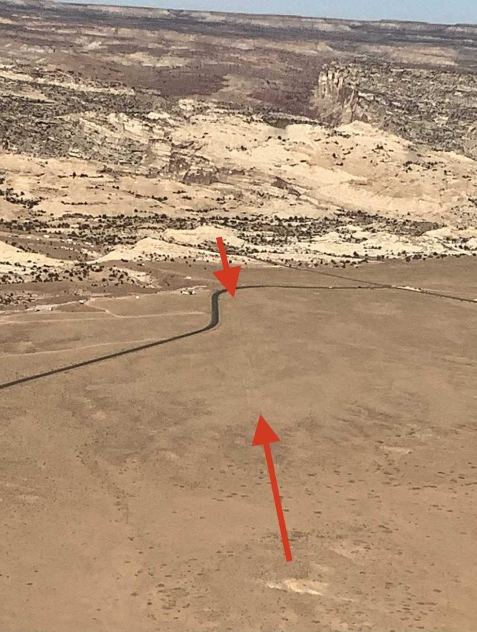
Runway: 2,600' long x 40’. The surface is a little soft but is easily managed with 850 tires or larger and is relatively smooth. Slopes to the north 0.38%. Approximately 500’ from the south end there is a small undulation. Land beyond it.
Approach Considerations: The airstrip can be approached from either direction. When landing to the north, use caution for a small undulation approximately 500’ from the south end. Recommend landing beyond it.
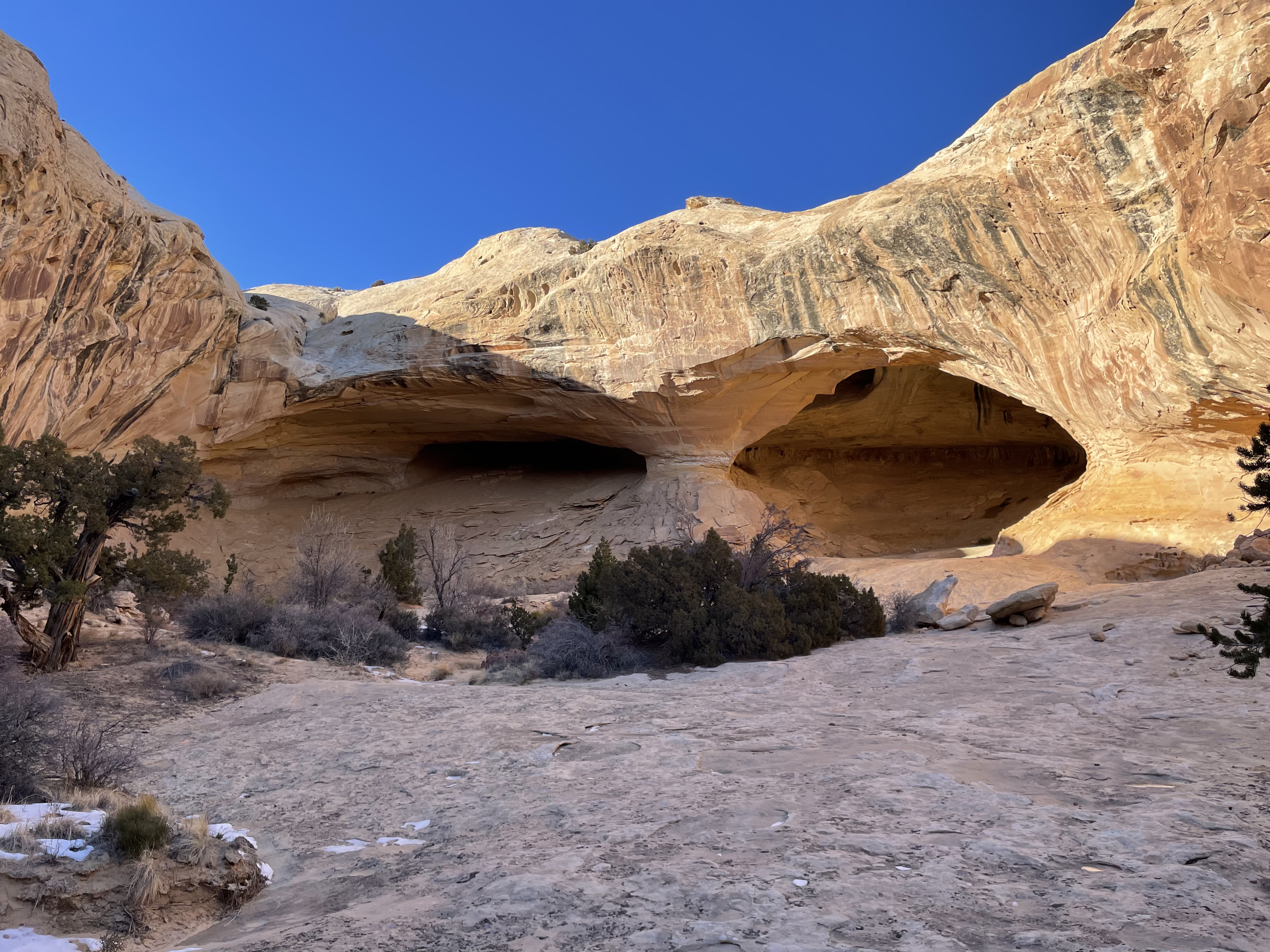
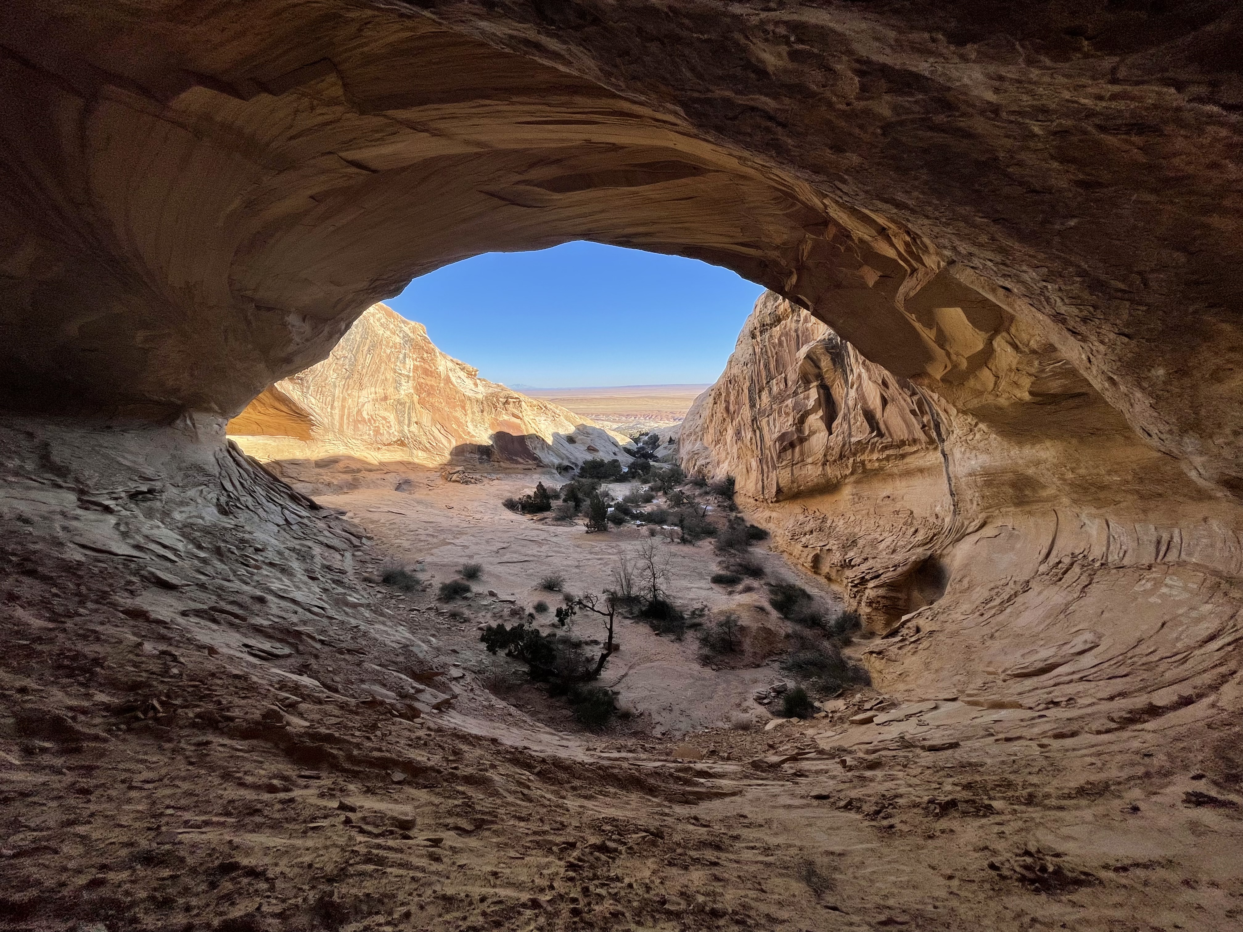
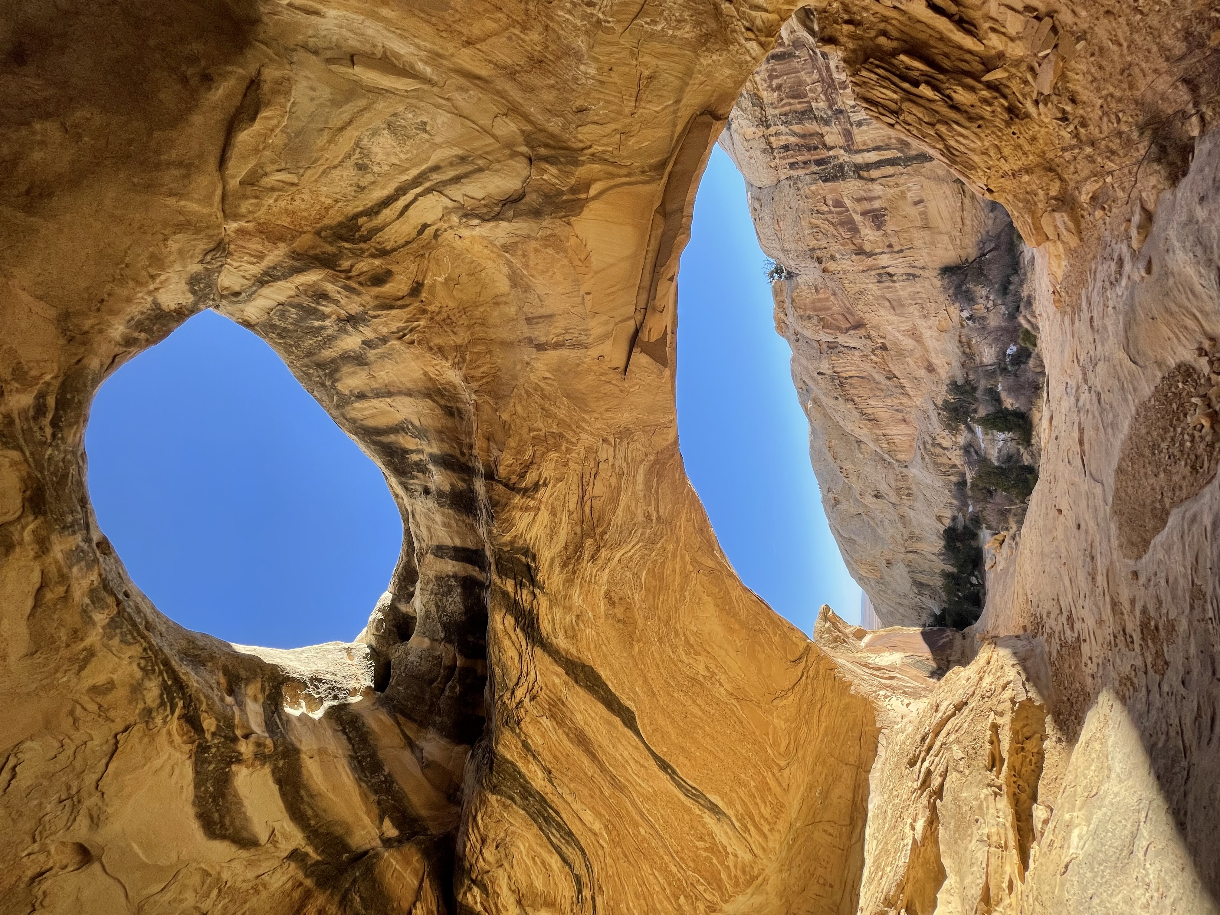
Amenities: Primitive camping areas are available along the airstrip. BLM campgrounds are nearby. Goblin Valley State Park is 5 miles to the south. Trailheads to Wild Horse Canyon and Wild Horse Window hikes are located across the highway. The Temple Mountain mining site is nearby as well.
Windsock: No.
I've scoped this strip out in the past a few times and it always seemed too overgrown for my taste, today as I did a low pass I noticed a much nicer looking surface and quite a few tire tracks (of the airplane variety) it looked decent. So I came back around and landed, it was definitely one of the bumpier strips I've been on, but keeping the taxi speed up a little to keep the nose gear off made it an enjoyable experience. I'll have to come back and hike over to the arch when it's not so blasted hot. No windsock.
I know Cory Wolf would love to do some work on this one...we're waiting to see what happens with it either becoming State Park land or not.
2 years ago
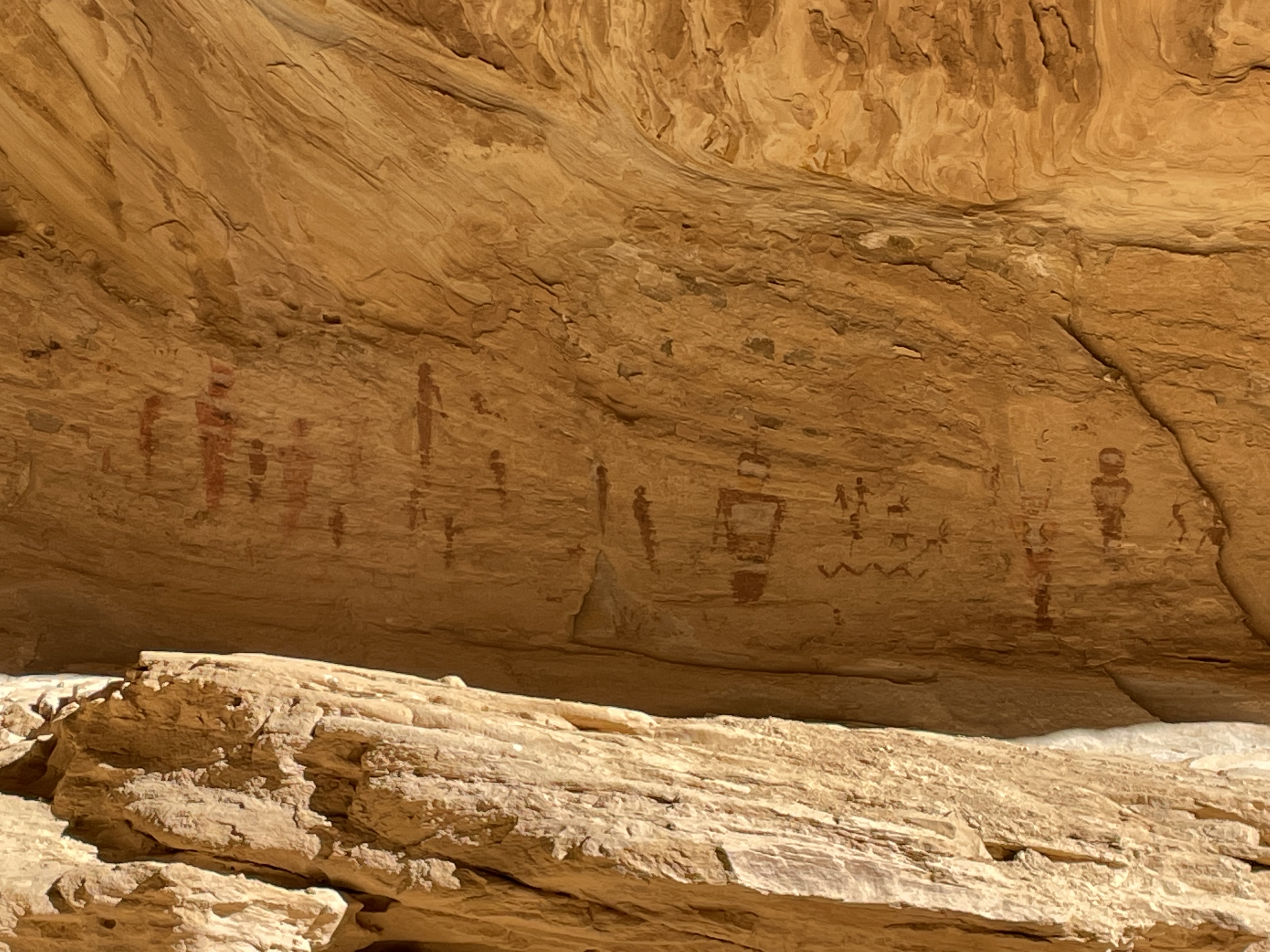
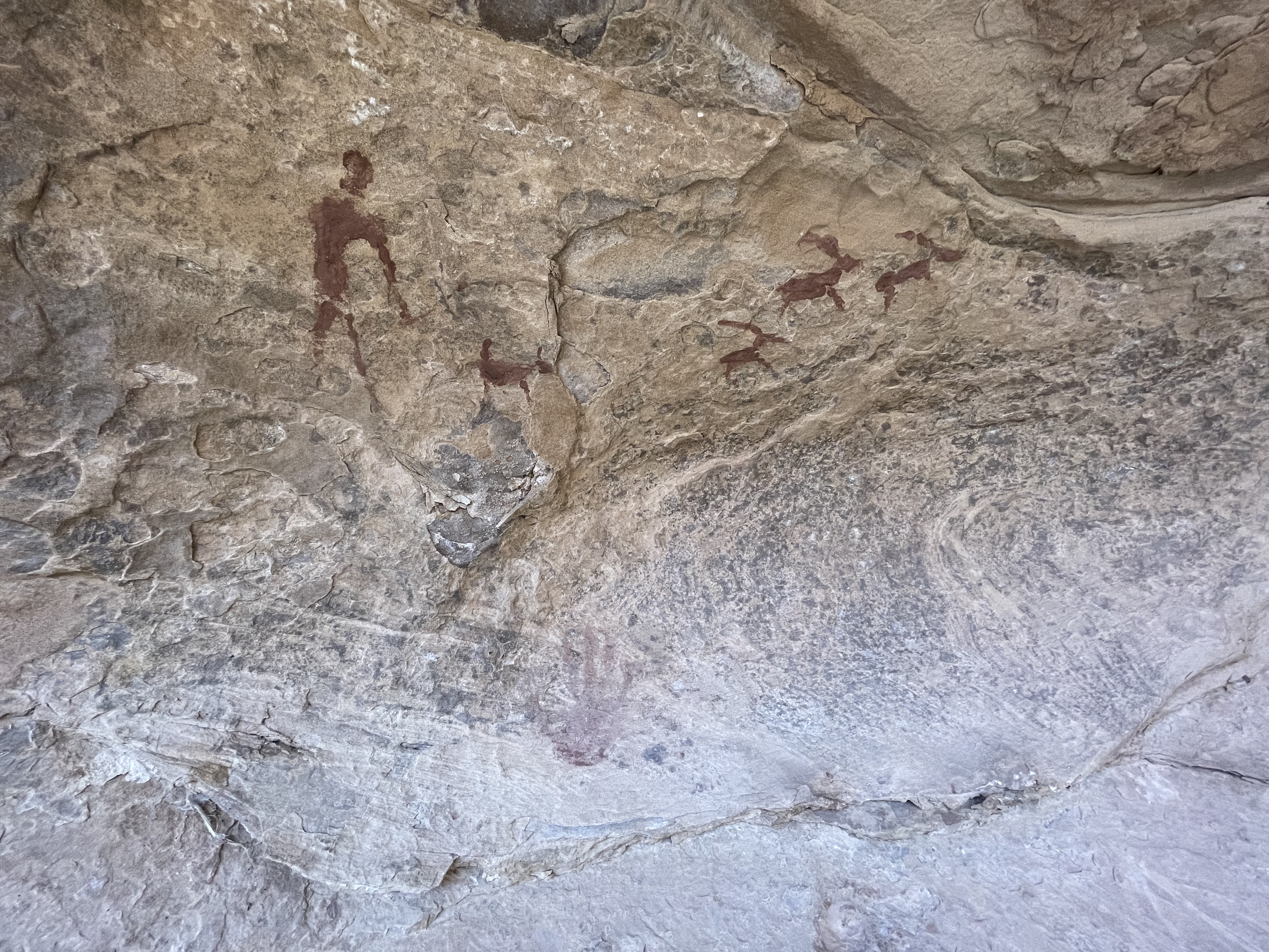
Clumpy and bumpy, but still doable. I was actually happily surprised to see several recent tracks on the strip. Finally got the chance to check out the Wild Horse Window hike. The trailhead is across the highway and down the road a quarter of a mile or so. While there are cairns to mark the trail, best to have an app like Hiking Project with a geo referenced map to keep you in the path. Definitely worth going and doing. I did check with one of the Price rec planners and he believes the pictographs are authentic.
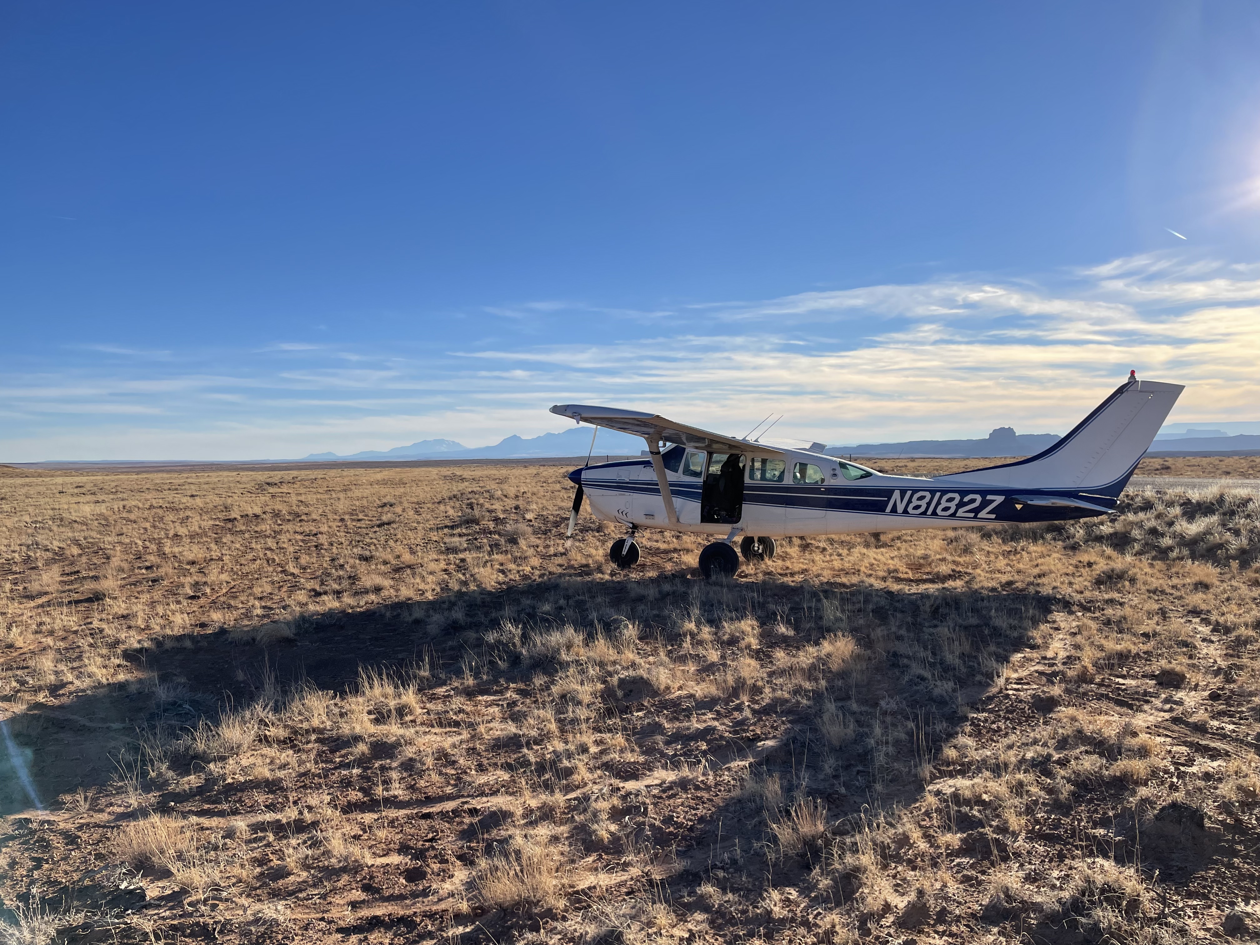
The strip is hard to spot till you’re on final, as it blends in with the surrounding terrain. It is soft sand with small weeds and bushes, nothing over 6 inches tall or so. The surface is a little rough, but nothing larger, high flotation tires can’t handle. My Zenith 701’s 8.50 tires did okay on it, but but it was at the upper limit of my tolerance for rough surfaces.

We haven't written a history for this airstrip yet. If you would like to provide us with some information about this strip, please contact us today!