Airstrip Info
| Frequency | 122.90 |
|---|---|
| Elevation | 5287 ft |
| Lat/Long |
38.3255, -110.4353 38° 19.53' , -110° 26.118' |
| Runway 11/29 |
3500 ft
x 30 ft
Dirt |
| Ownership | SITLA (NW) / BLM (SE) |
Amenities
Weather
See more at the National Weather Center
Information updated September 17, 2022 @ 1:32pm
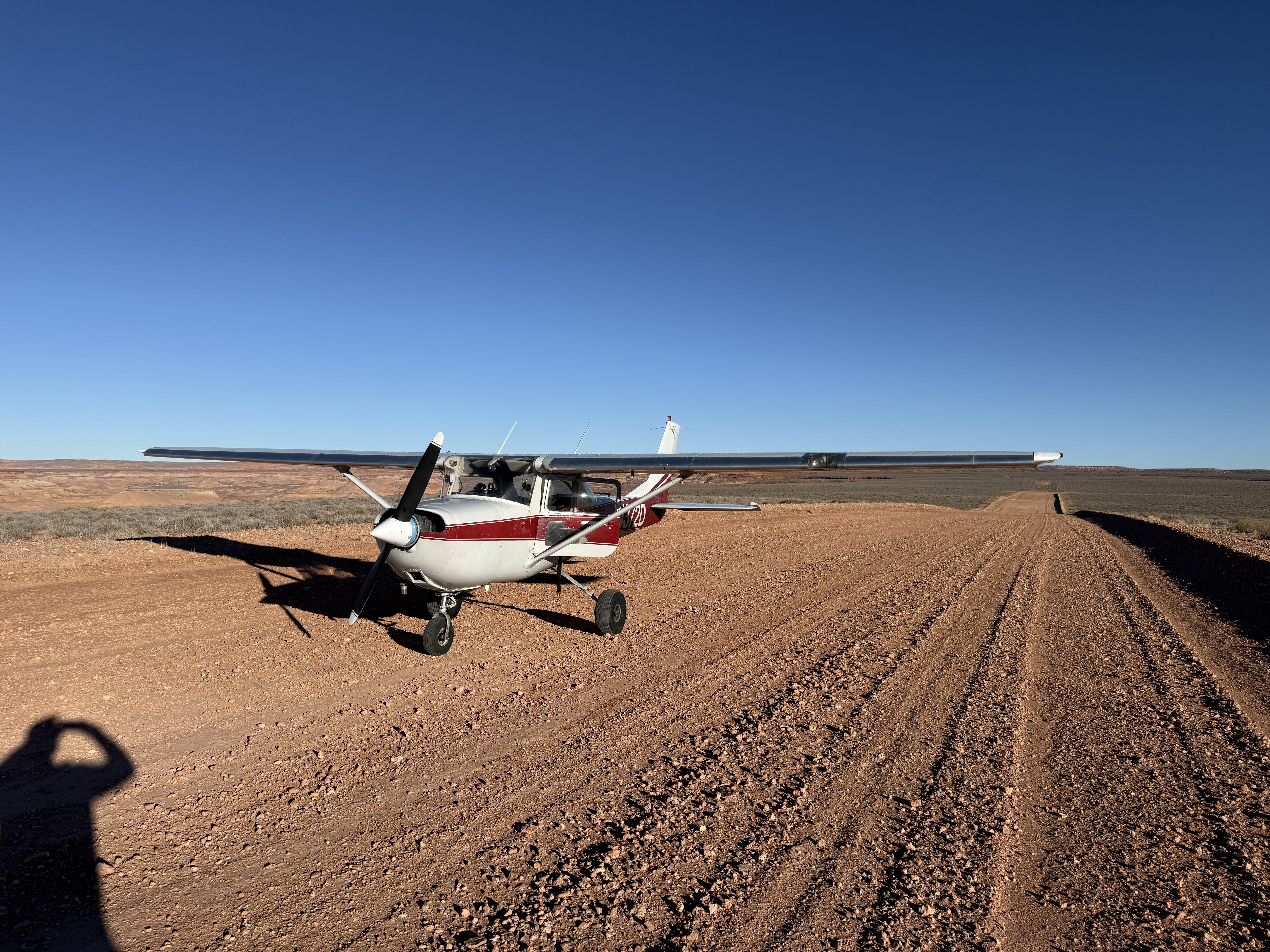
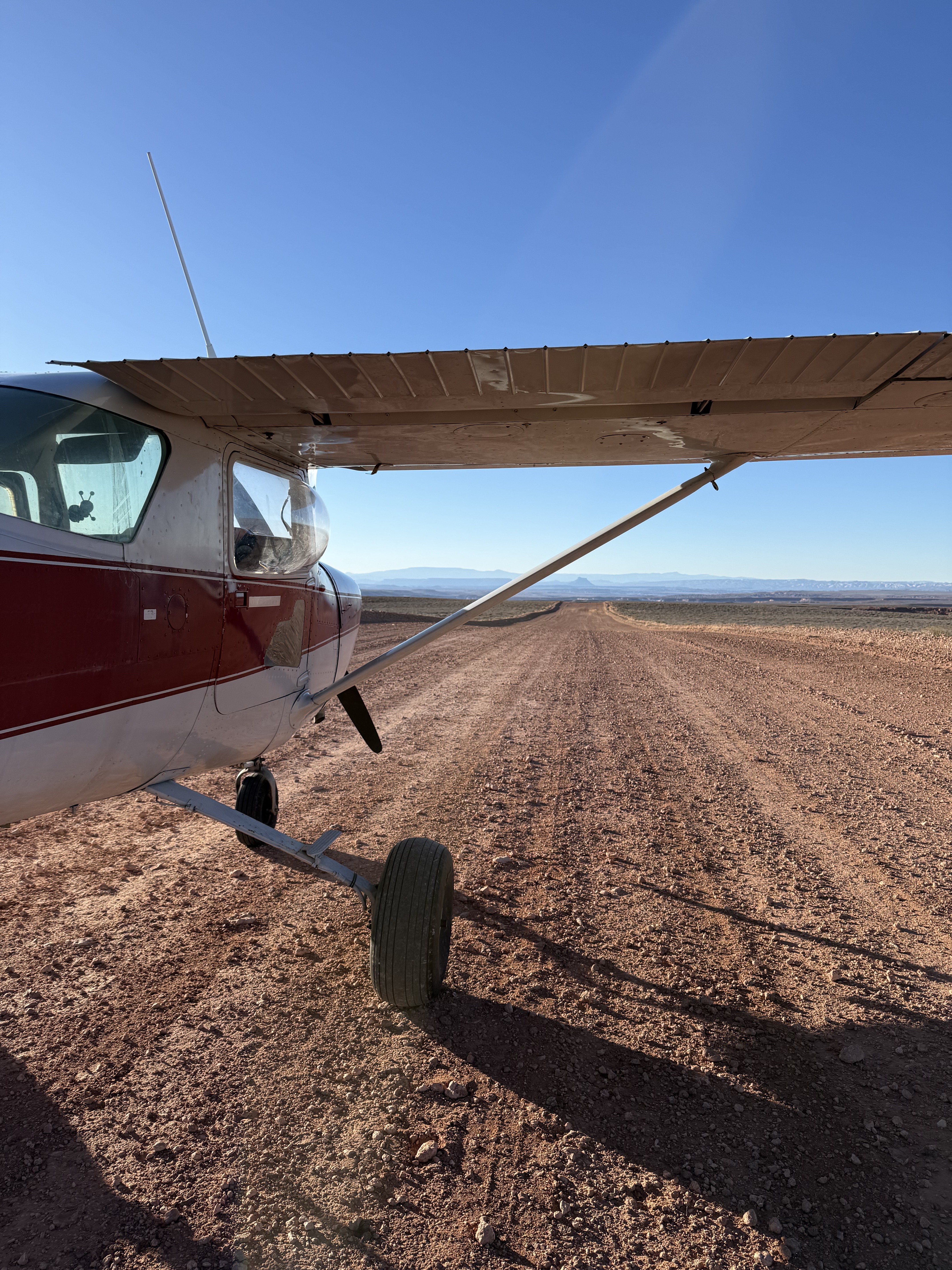
Description: Angel Point is a widened county road that's hilly surface prevents you from being able to see one end from the other. Angel Point is one of the three back country airstrips included in the State's "FLY UTAH Passport Program". To learn more, head to their website. Rudimentary parking area at south end of north/south runway.
Runway: 3500 ft long x 30 ft wide hard dirt runway with rolling hills along the length of the landing surface.
Additional Runway: 1800 ft long x 30 ft wide running 03/21. Crosswind runway suitable for high performance STOL aircraft only.
Approach Considerations: Due to its nature, recommend pilots be cautious of vehicle traffic. Typically land to the north, depart to the south. Strongly suggest that on arrival an inspection of the landing surface plus a view for any vehicle traffic approaching from the east as sloped runway can hide distant traffic travelling on landing surface.
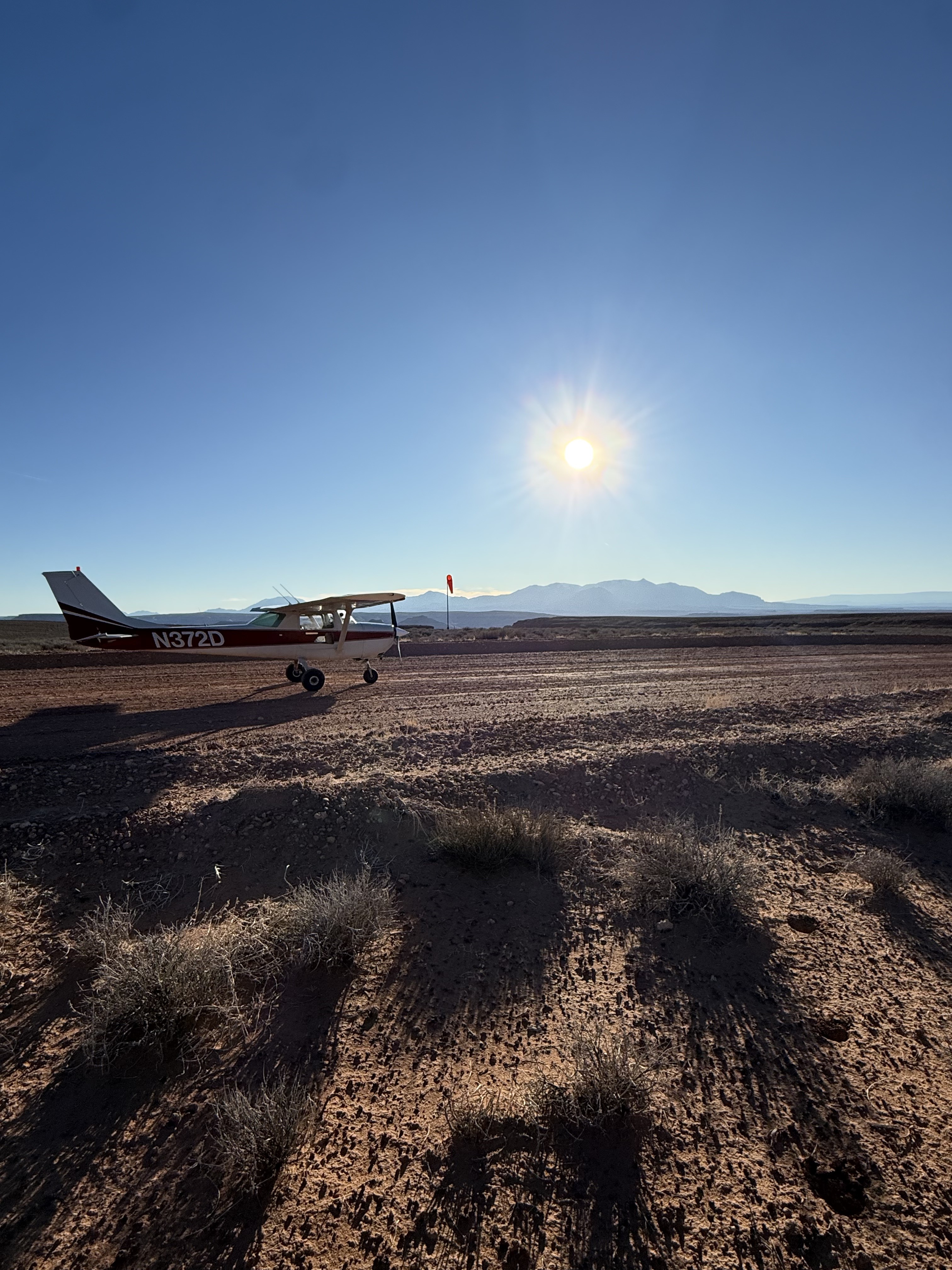
Amenities: No
Windsock: Yes

There's a few hikes / canyoneering opportunities west of Angel Point. More info available at https://www.roadtripryan.com/go/t/utah/north-wash/fallen-angel-canyon
Great camping spot at the south end of the short runway/road, overlooking the canyon that leads to the Dirty Devil River. Great view! Bring your own aircraft tie downs, water & firewood, as well as shovel for toilet purposes.
We haven't written a history for this airstrip yet. If you would like to provide us with some information about this strip, please contact us today!