Airstrip Info
| Frequency | 122.90 |
|---|---|
| Elevation | 5372 ft |
| Lat/Long |
37.6515, -110.1709 37° 39.09' , -110° 10.254' |
| Runway 14/32 |
3400 ft
x 80 ft
Dirt Rwy 32 Uphill 1.7% |
| Ownership | BLM NM |
Weather
See more at the National Weather Center
Information updated April 25, 2024 @ 5:31pm
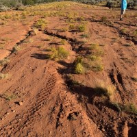
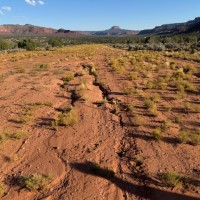
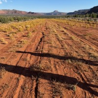
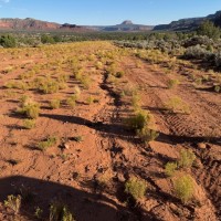
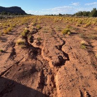
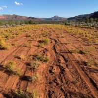
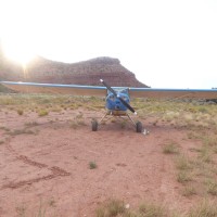
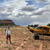
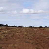
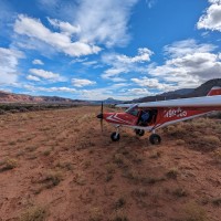
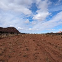
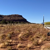
Really only needs major work in one area just north of the dirt road - the rest of the strip is quite usable. Three planes landed at Fry Canyon (2x C185 and one Husky w/ 26" tires). Landed uphill to the north of the dirt road. North half of runway in good shape. Some minor ruts about 200' south of the windsock pole, just east of the centerline of the runway. The 1300' of runway south of the road is actually in good shape as well. Significant ruts (~8" deep) within 200' north of the road. Very obvious on foot, not so much taxiing N to S given the strategic location of several small sagebrush. We were very lucky to not get stuck or worse, as all three of us taxied through some part of these ruts. Anything with smaller tires would've most likely been stuck at best, while anything tricycle with small tires would've potentially been a prop strike. These ruts need attention, but the rest of the strip is in good shape aside from the sagebrush. The deep ruts are easily avoided by landing a few hundred feet past the road (landing north), and while taxiing by staying on the extreme west side of the runway as you approach the road from the north, then transition at the road toward the center of the runway as you continue south toward the camping area at the south end.
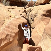
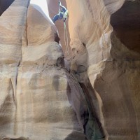
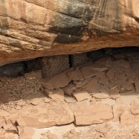
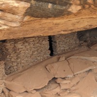
Fry Canyon is a super long strip right on the edge of Fry Canyon, which is a cool mildly technical canyoneering route. Land uphill on runway 30, after the road which cuts across the middle of the strip. Depart downhill on runway 12. If you park at the downhill end of the runway, you'll walk southeast towards the bridge over the head Fry Canyon, and drop into the canyon there. Roundtrip hike from the south end of the runway thru the Fry Canyon canyoneering route and back to the plane was 6.9 miles. Took us about 2.5 hours total. There's a 60 foot rappel into the crux of the canyon, then a 75 foot swim down canyon. Camping up above Fry Canyon with views down onto Anasazi ruins is pretty cool, and its easy walking distance from the runway (a few hundred feet).
Curious what length rope you used? Anchors established or used your own? This looks like a good time! Found this website, seems like maybe there are two entry points? https://www.canyoneeringusa.com/cedar-mesa/fry-canyon
7 months agoHi Josh - we just used a standard 165 ft. dynamic rope that we doubled over for the rappel down, then pulled down behind us. There are good bolted anchors to attach the rope to. We entered the canyon from the state highway bridge, but could have skipped part of that hike but just rapping down into Fry Canyon from the campground directly above it.
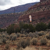
6 months agoThe runway is a pretty soft after the rain and snow and a bit weedy but not bad. It is a very long strip. Where the road crosses runway it is rough from the berms and I would recommend not landing in that area. We landed to the N right near the windsock which is on the west side of the runway about mid-field . Runway slopes up slightly to the N and it appeared that slope is steeper on the southern end of the runway. Very interesting ruins to see at the canyon overlook to the east.
Landed to the south downhill today due to wind. Strip is dry, relatively firm, lots of hoof prints, rabbit brush, tumbleweeds, etc. but still in good condition on the northern portion. Previously mentioned ruts aren’t bad except just north of the access road where they are troublesome. If landing uphill to the north, touchdown 200 feet beyond the crossing access road and you will avoid the wash out/ruts. Still plenty of runway in good condition.
Fry Canyon's airstrip has been identified on USGS maps since 1980. You can view this historic map below or download it by clicking here.
