Airstrip Info
| Frequency | 122.90 |
|---|---|
| Elevation | 7154 ft |
| Lat/Long |
38.7019, -109.0434 38° 42.1152' , -109° 2.6022' |
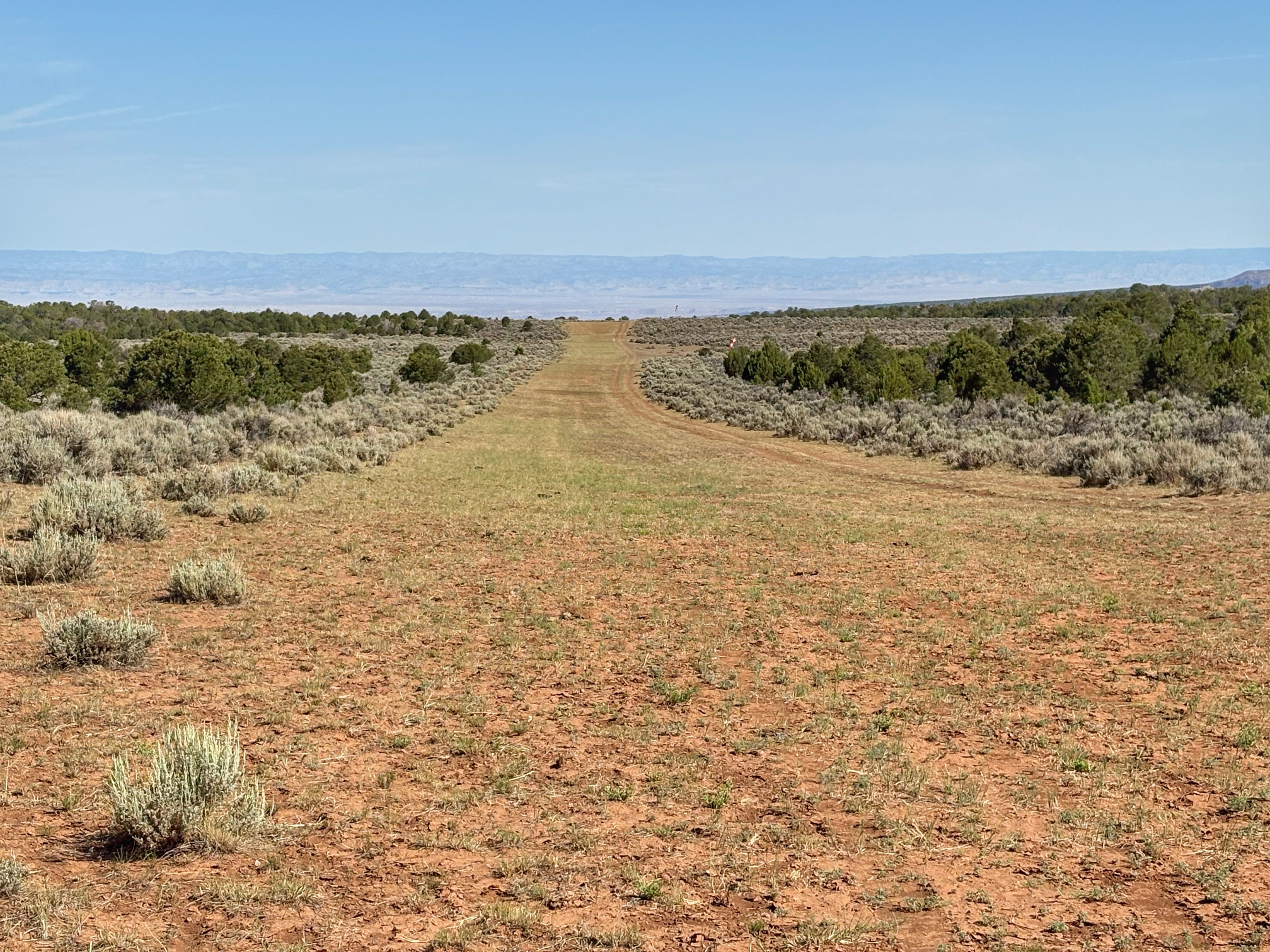
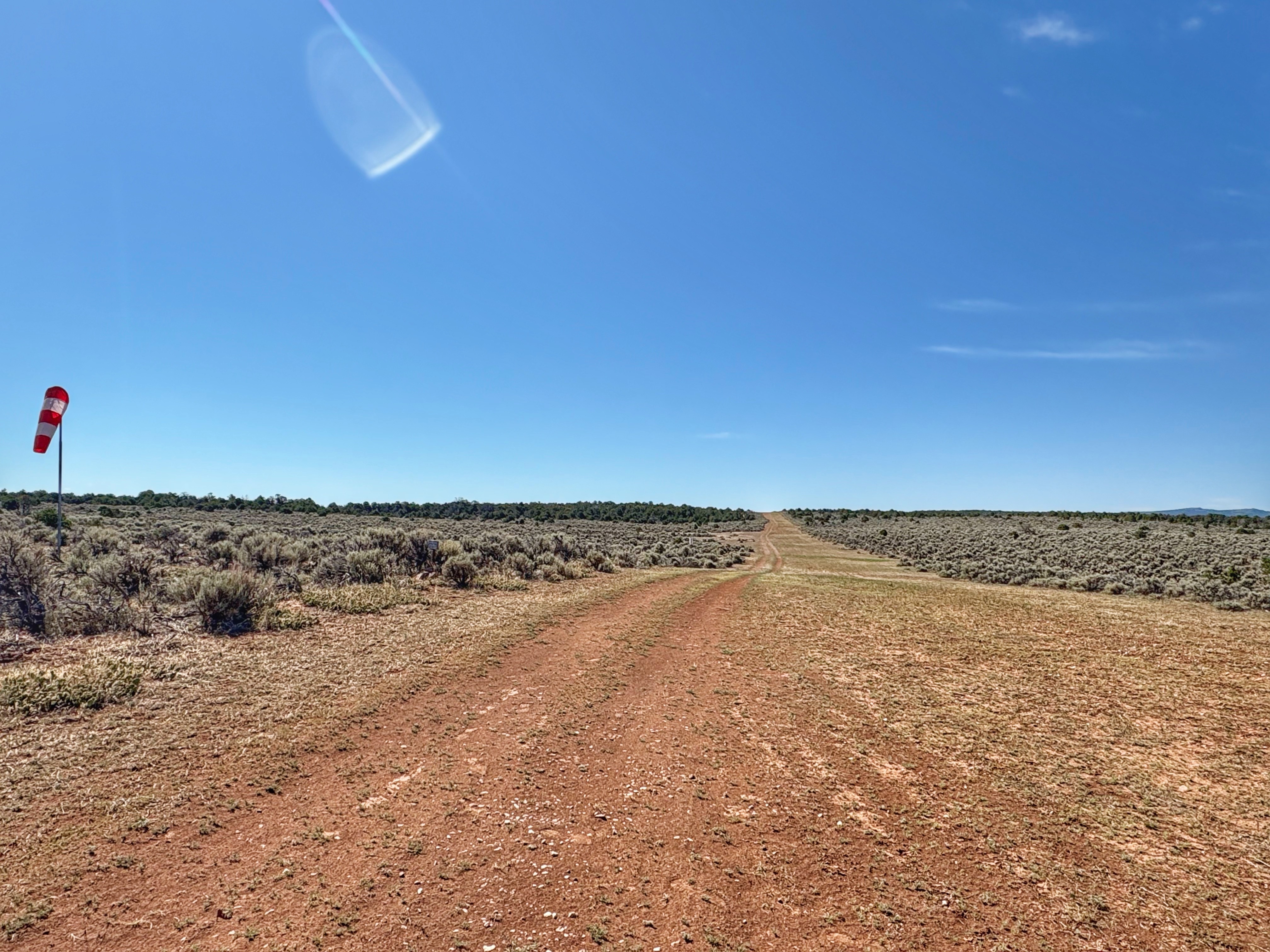
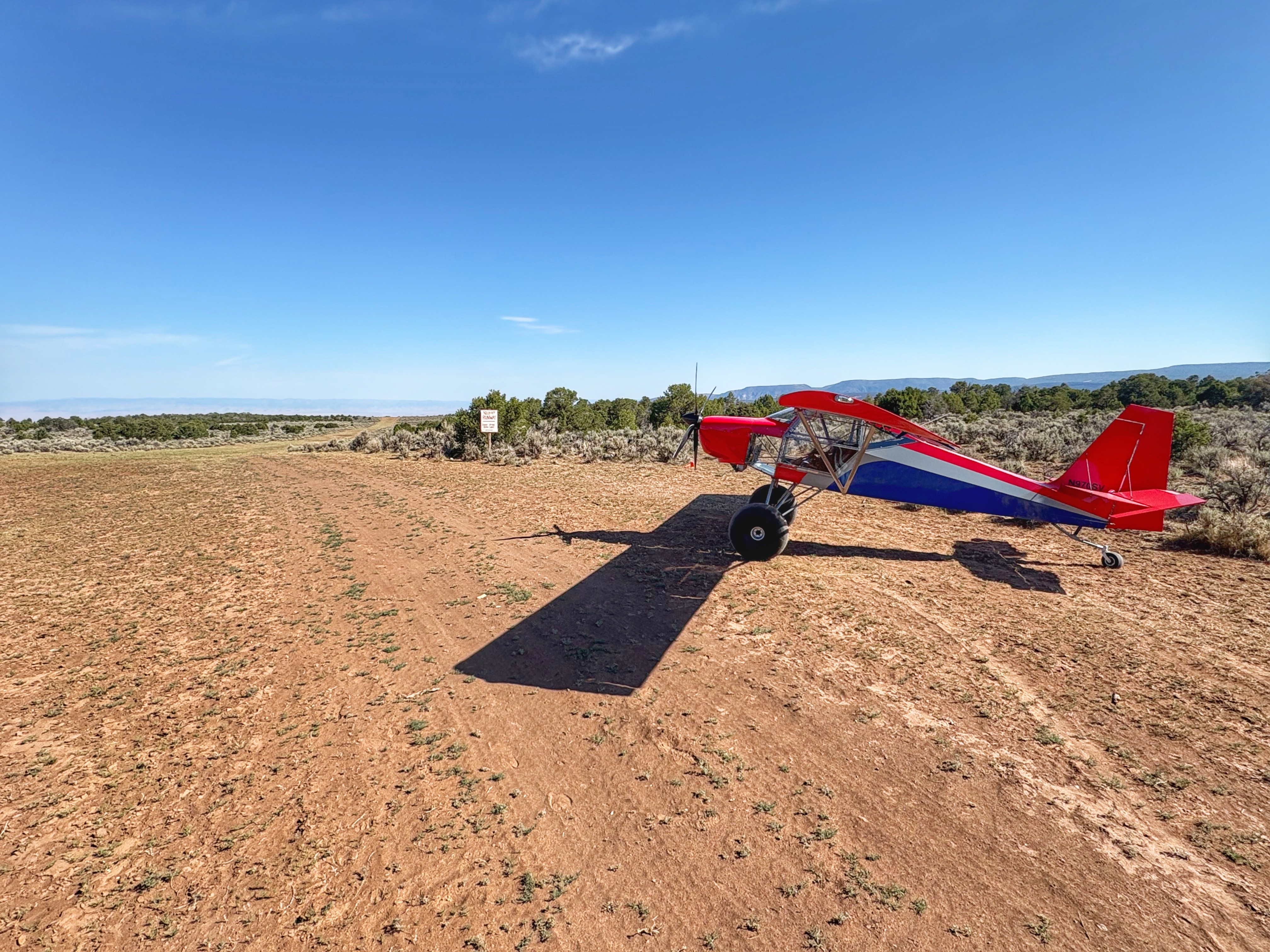
| Runway 14/32 |
3300 ft
x 40 ft
Dirt/Grass Rwy 14 Uphill 1.7% |
| Ownership | BLM |
Weather
See more at the National Weather Center
Information updated May 13, 2021 @ 7:39pm
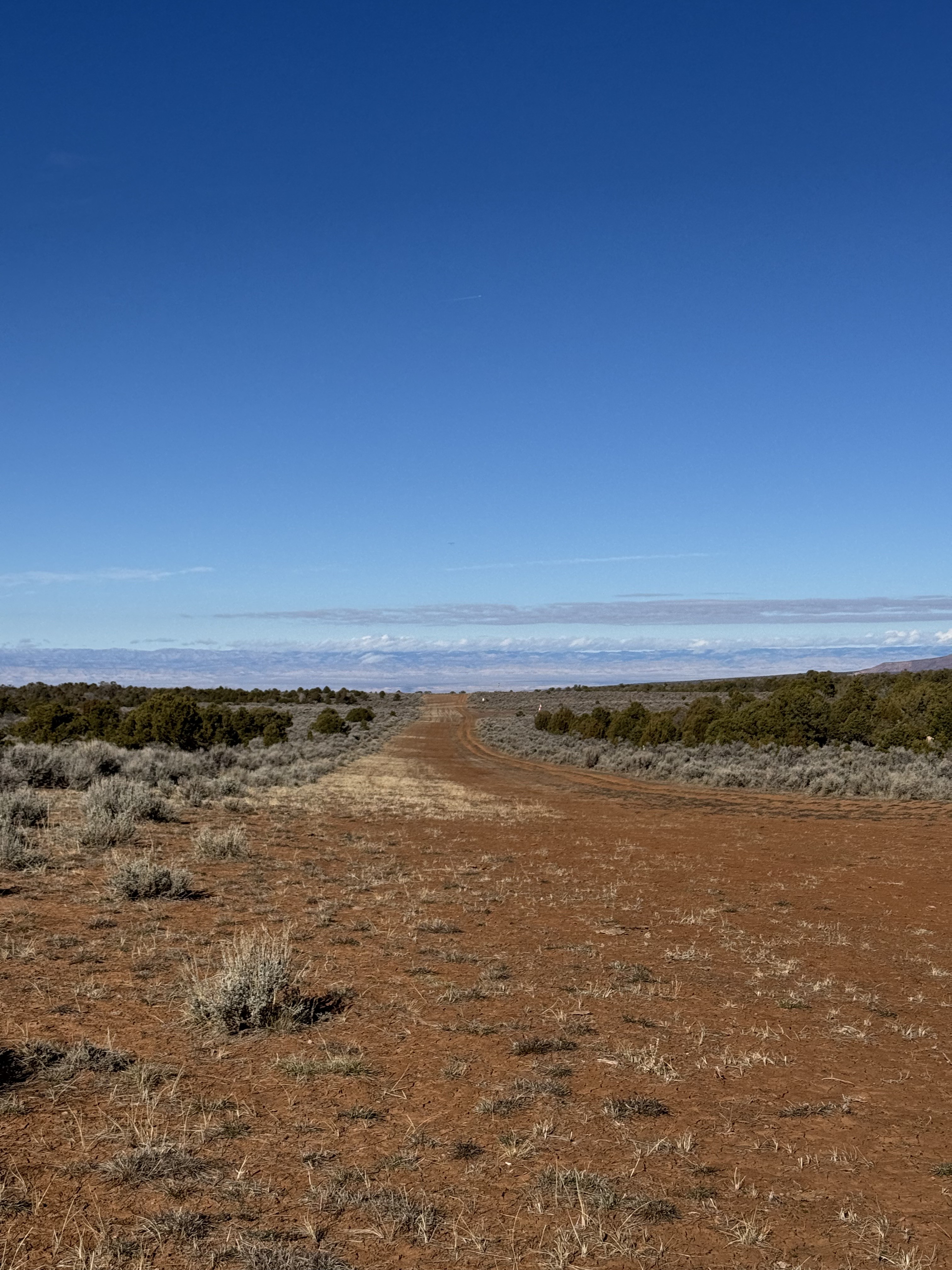
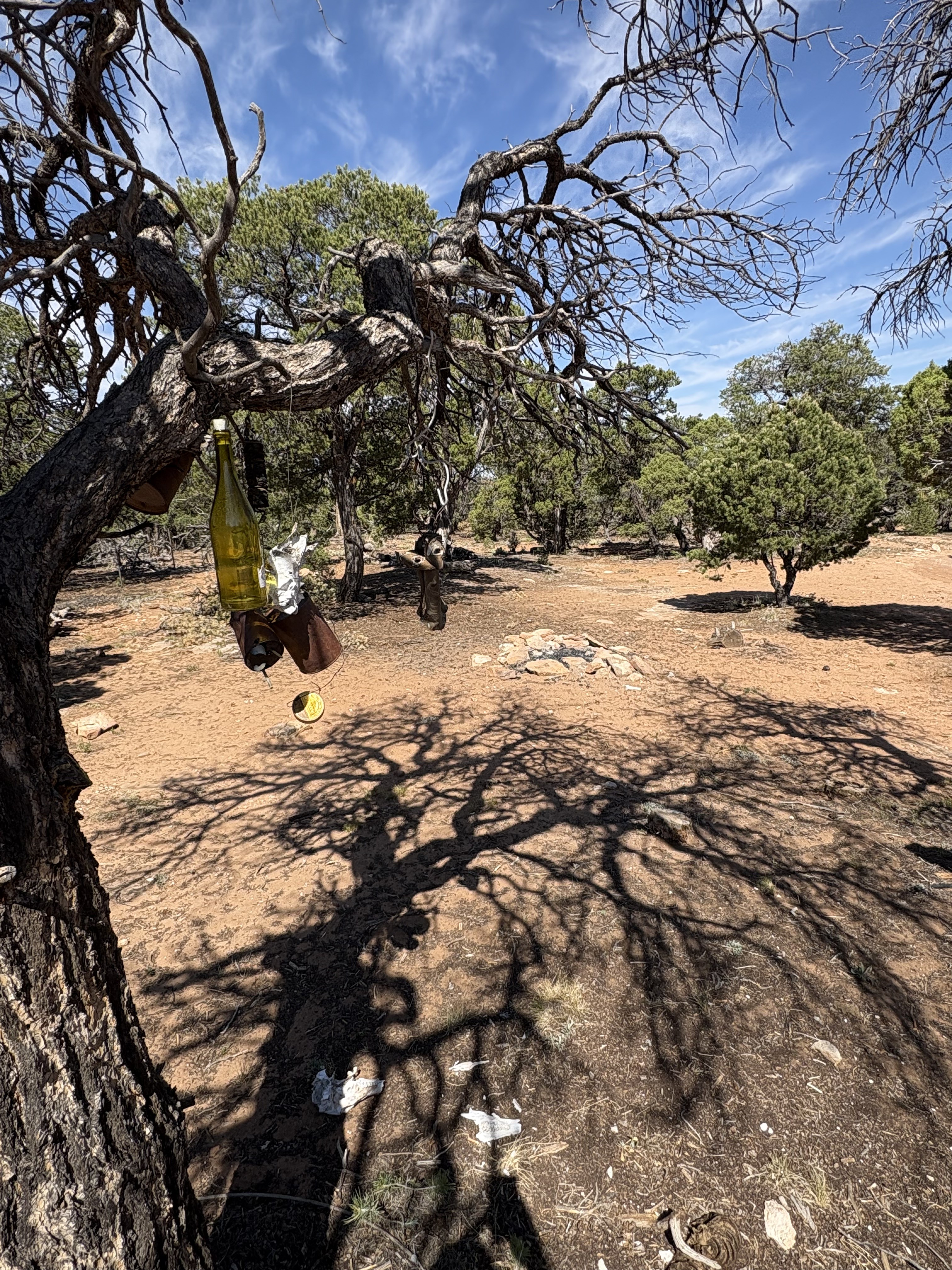
Be Aware of Canyon winds and density altitude. Runway 14 has a 1.7% uphill grade and several uneven “humps”. Use caution, the southern 3rd of the runway has a rut developing (several inches wide and deep by 80ft long) in the center of the runway (see picture). Parking area contains old mining debris, park with caution. No water or facilities near the airstrip.
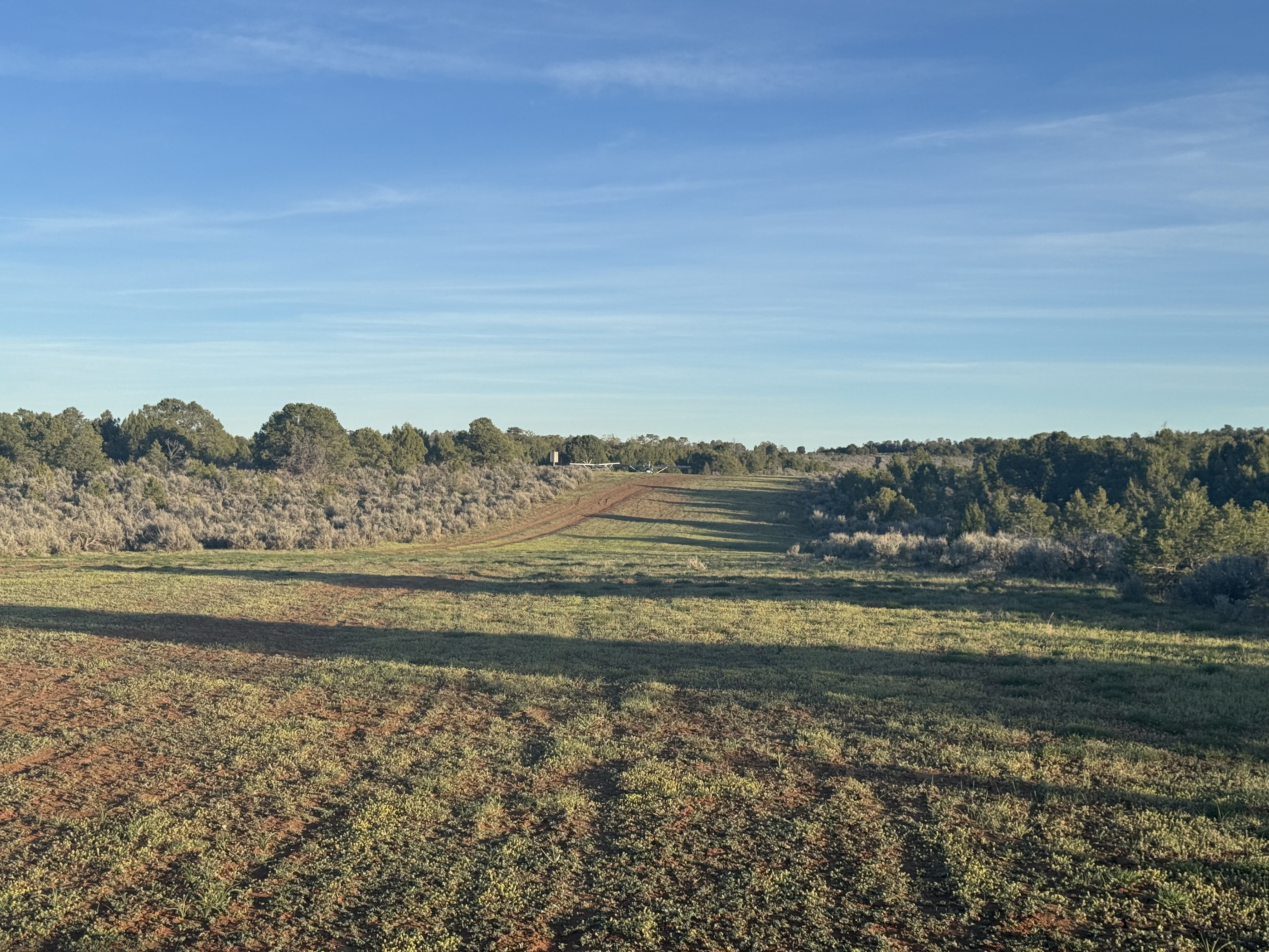
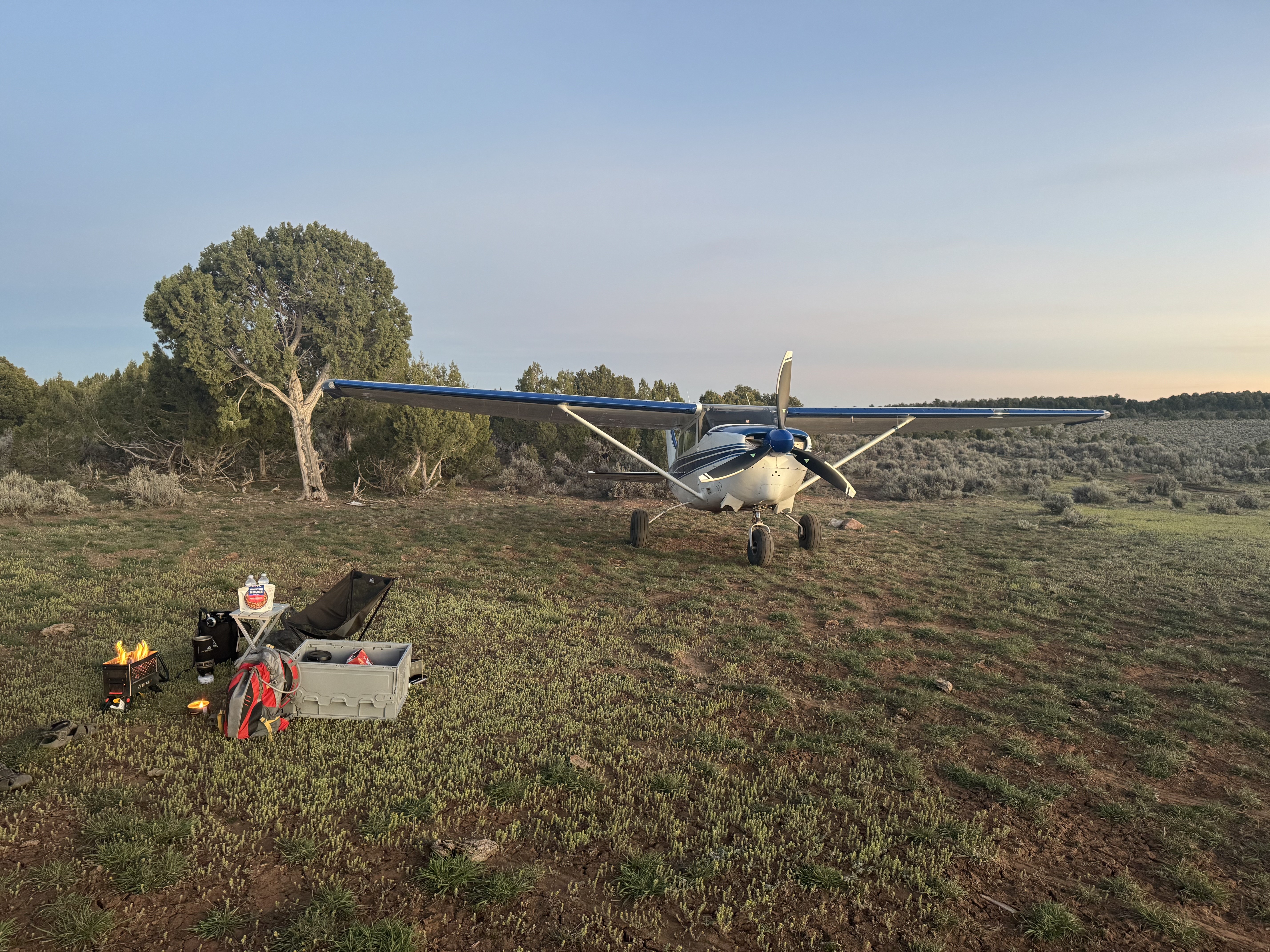
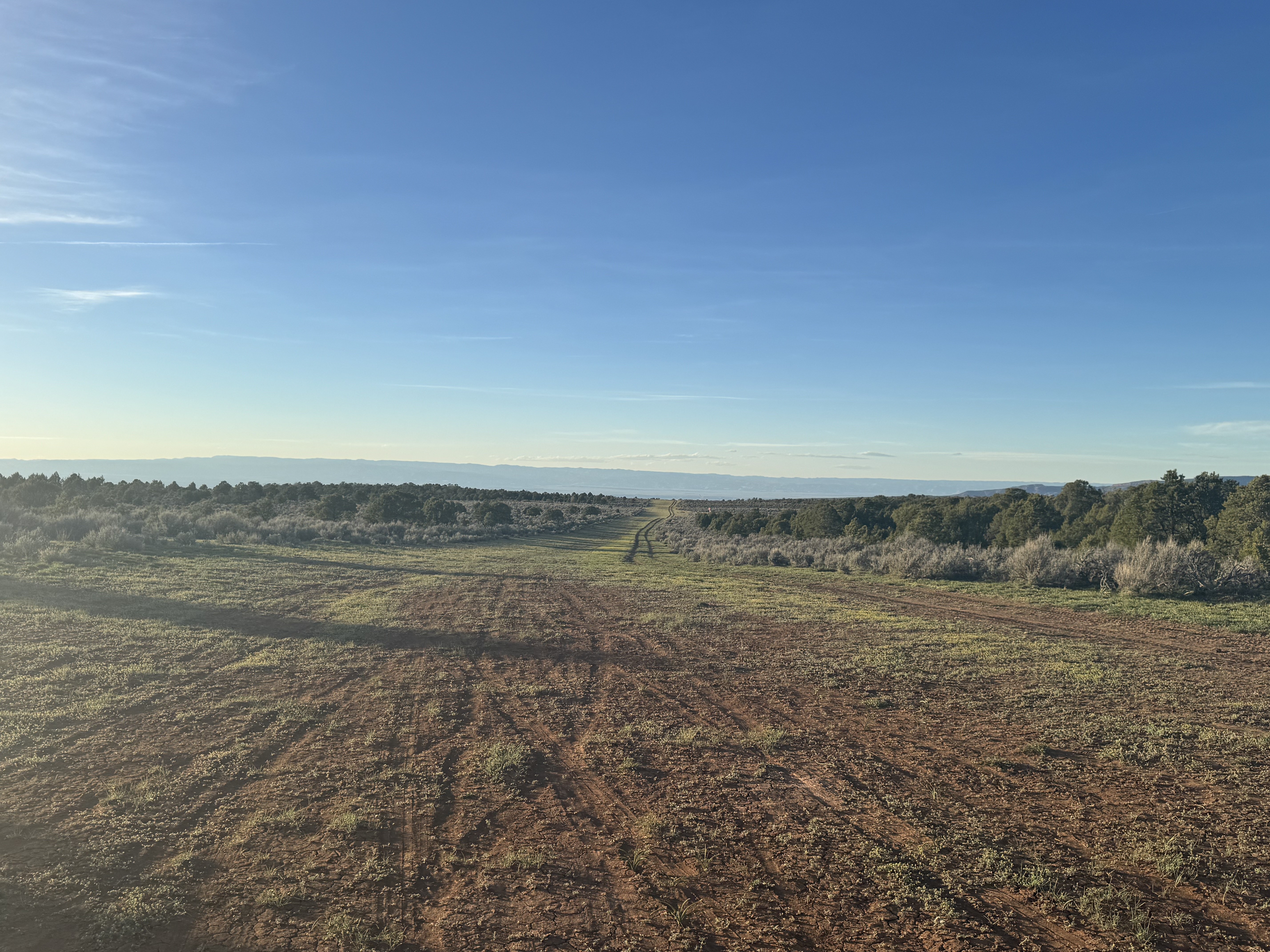
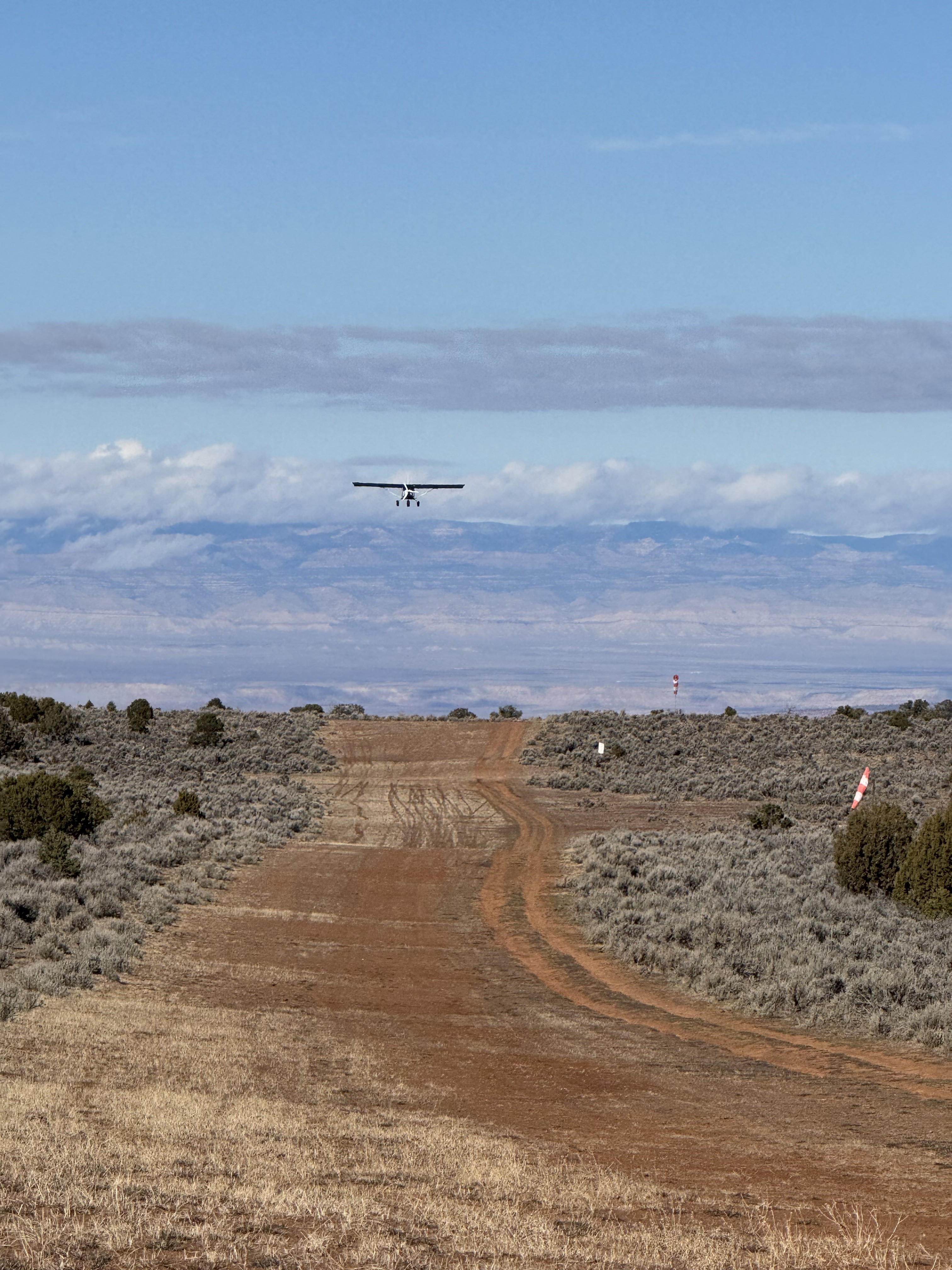
Unfortunately, vehicle ruts 4-6” deep on NE side runway. Plenty of room if you stick to the right landing on 14. Would cause a problem if a wheel hooked in one. I picked up trash and one half-assed fire ring showed burn from fire extending 10’ out. This evening sun tonight was a PIA. It’s much nicer in the AM and colors are more vibrant.
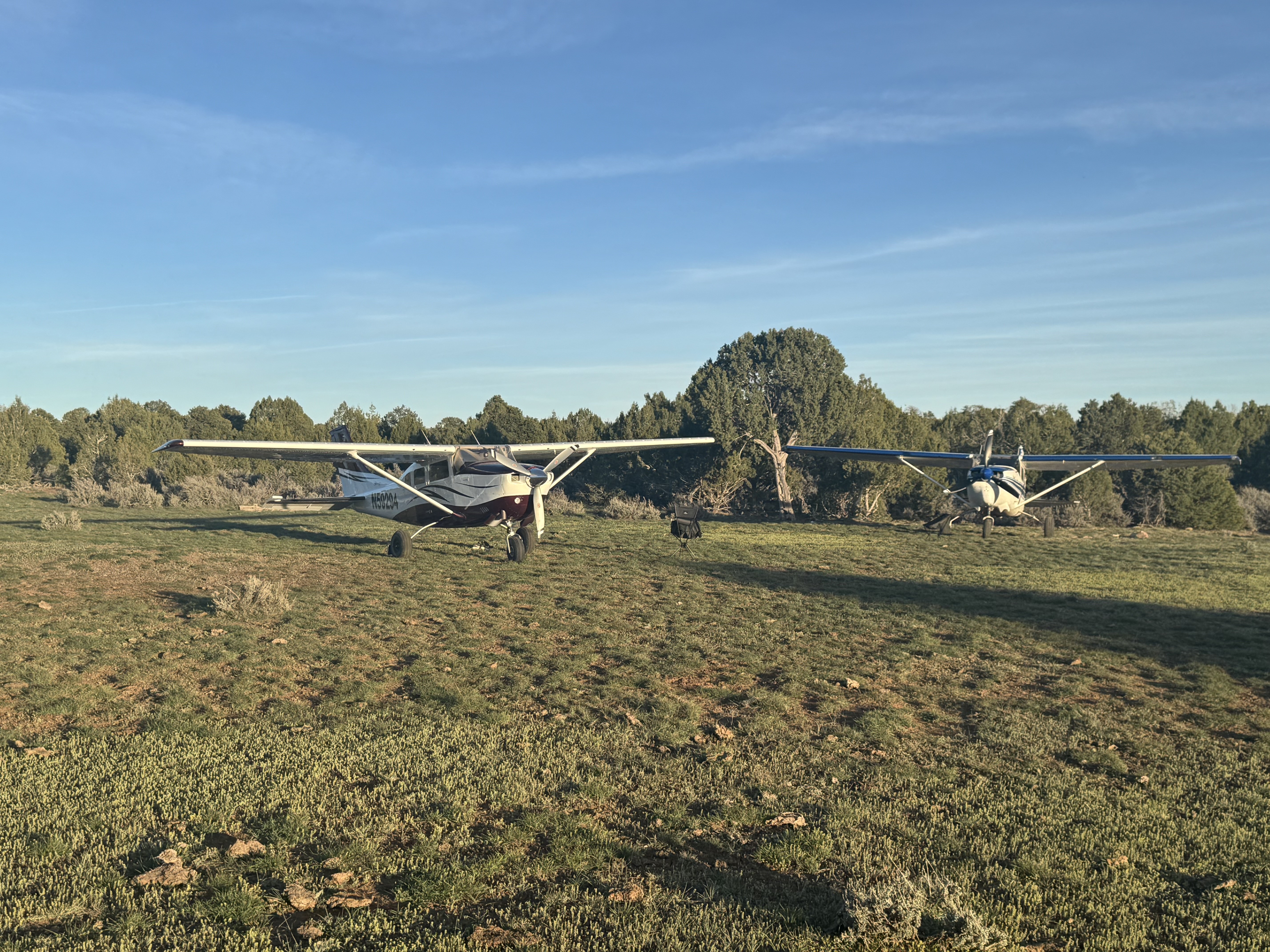
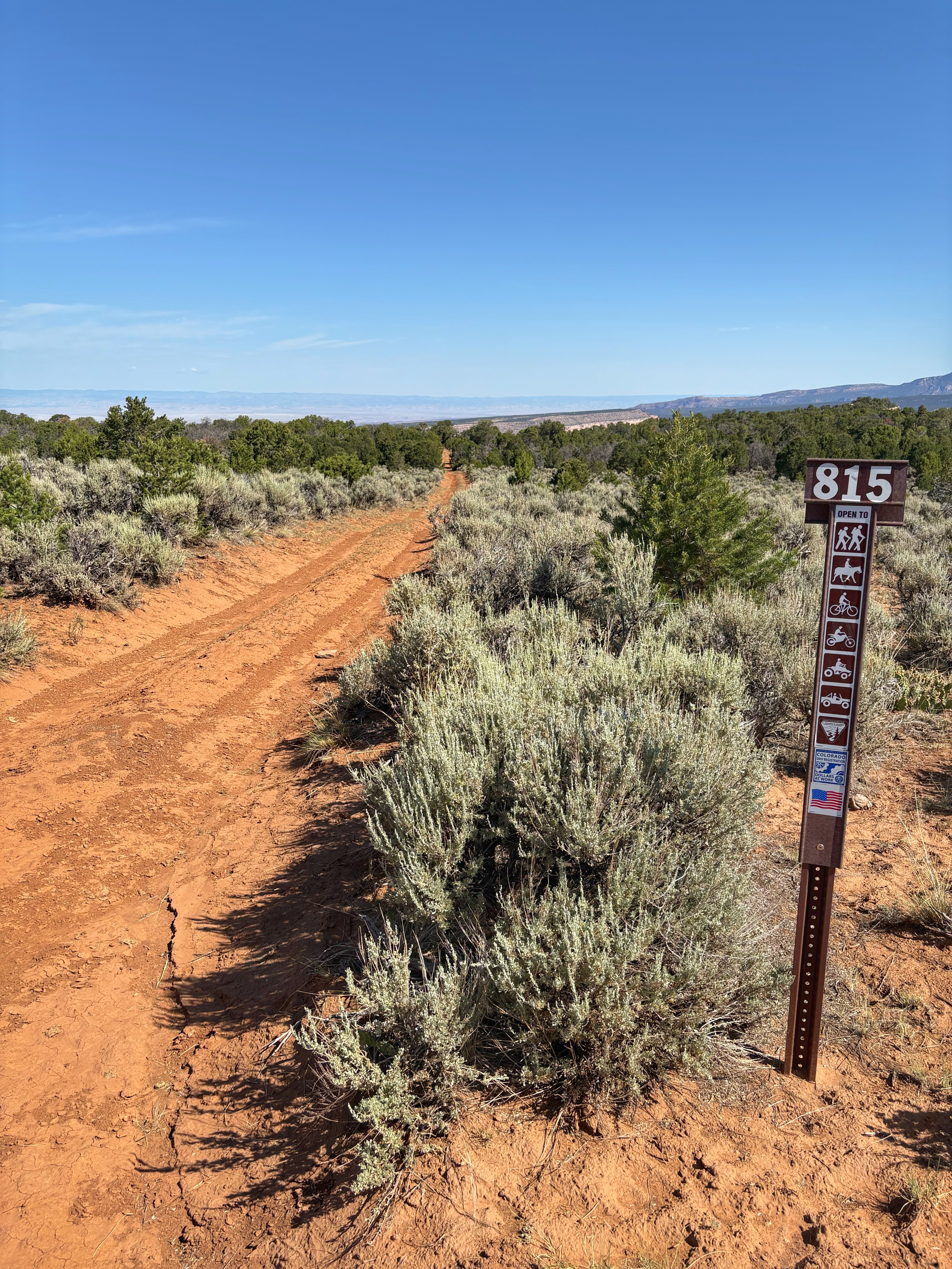
Airstrip is in very good condition. Two track on the north side of the strip isn’t deep and still leaves plenty of room beside for landing. Walking trails nearby take you to the canyon rim, and there are campsites along the strip and by the 815 track at the south end. Thanks to those who maintain the strip and replace the windsocks.
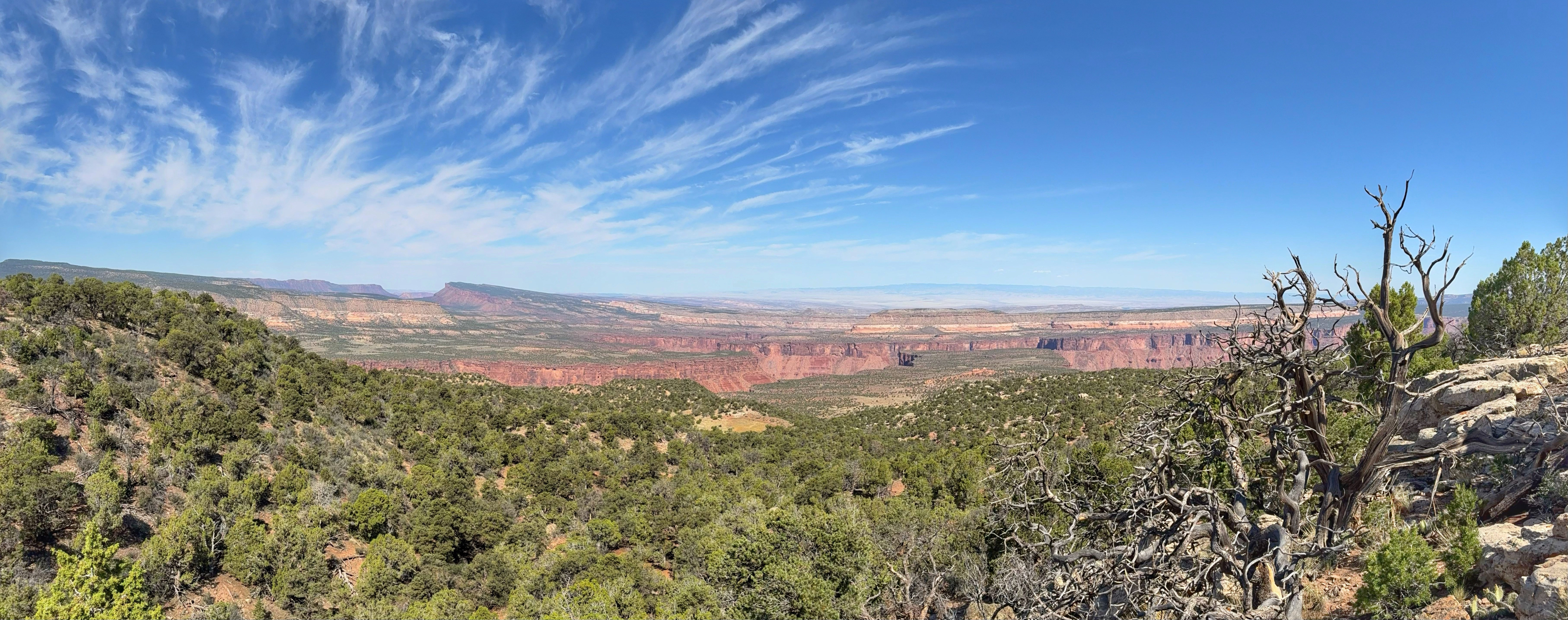
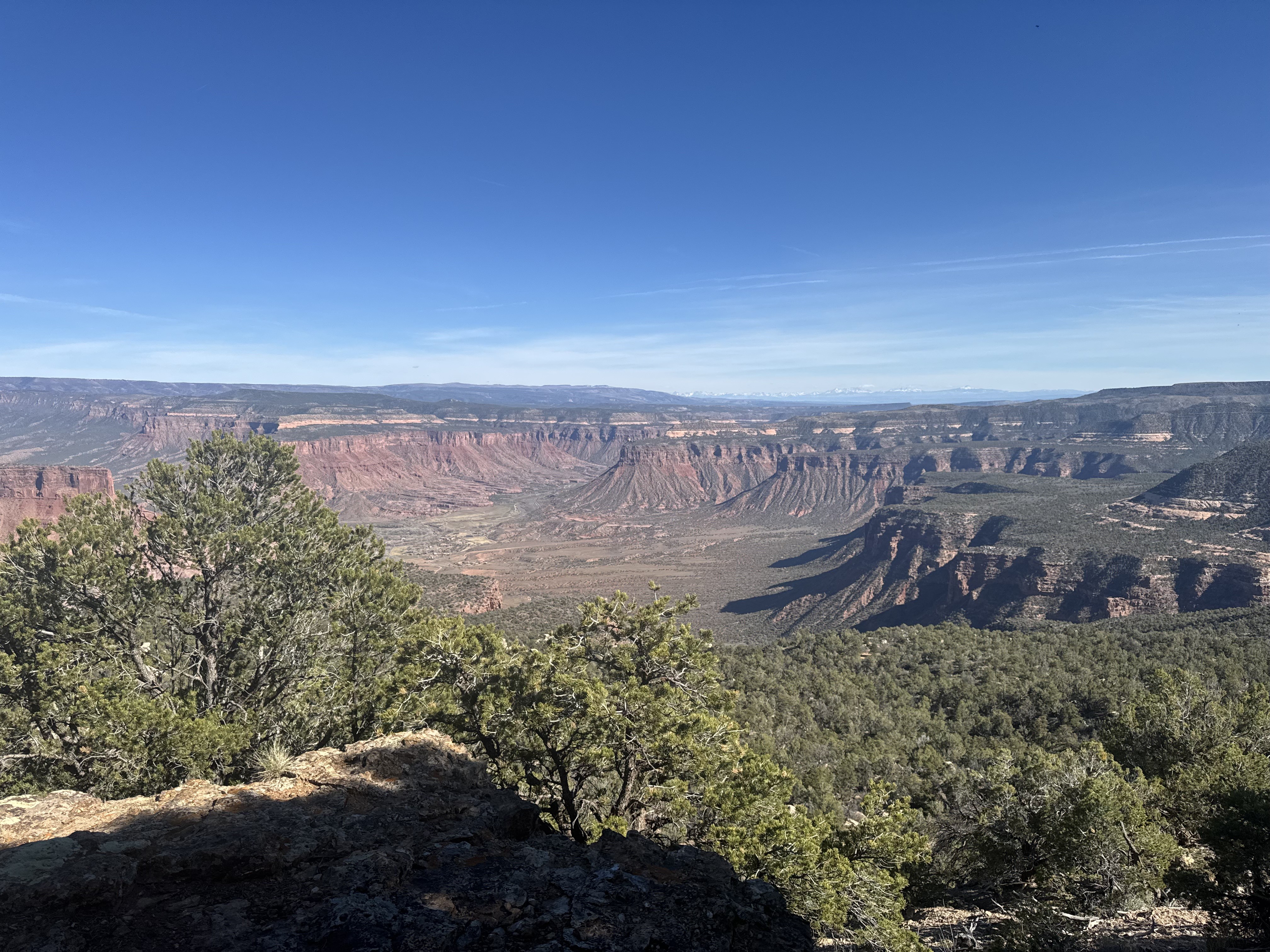
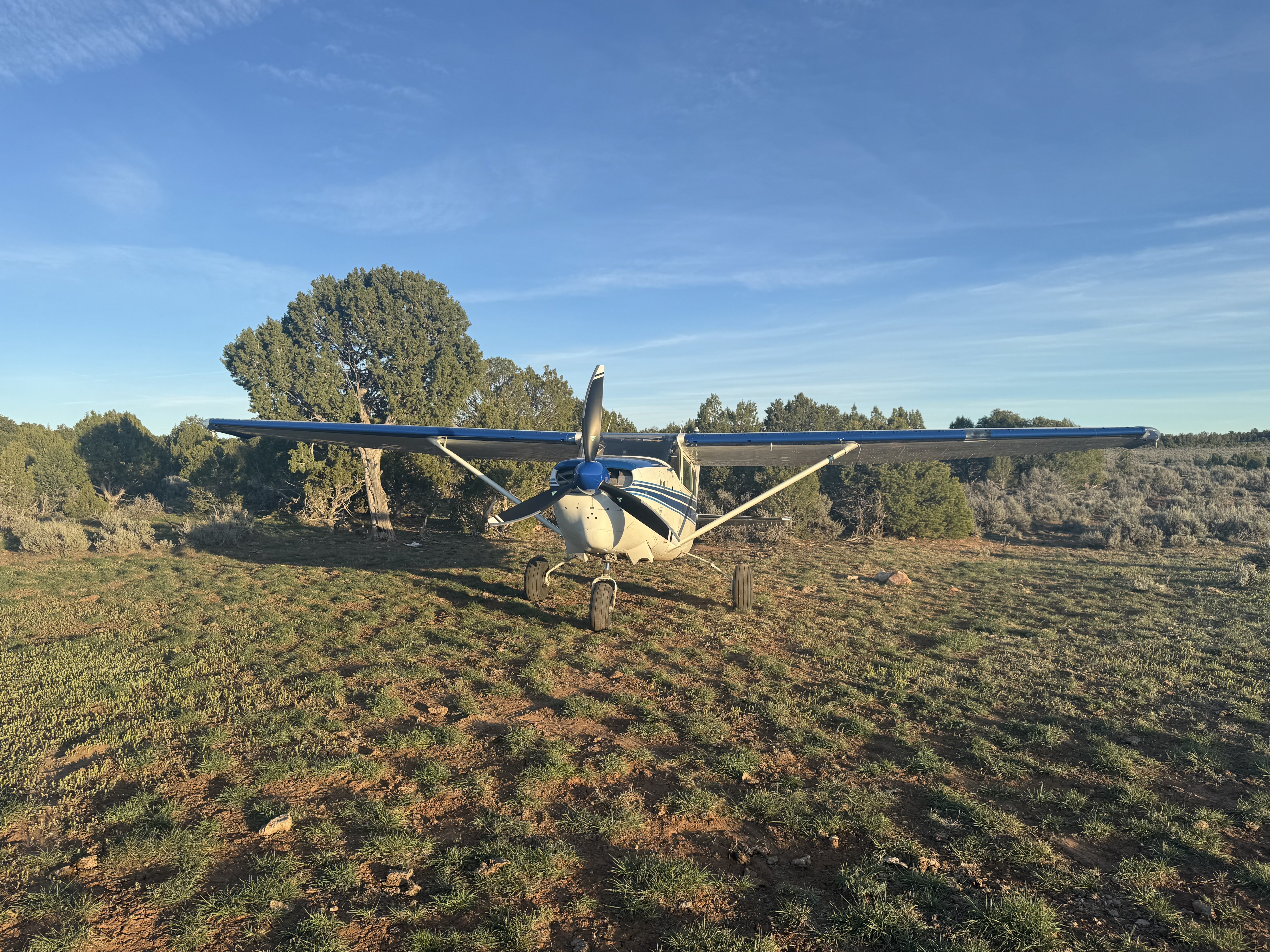
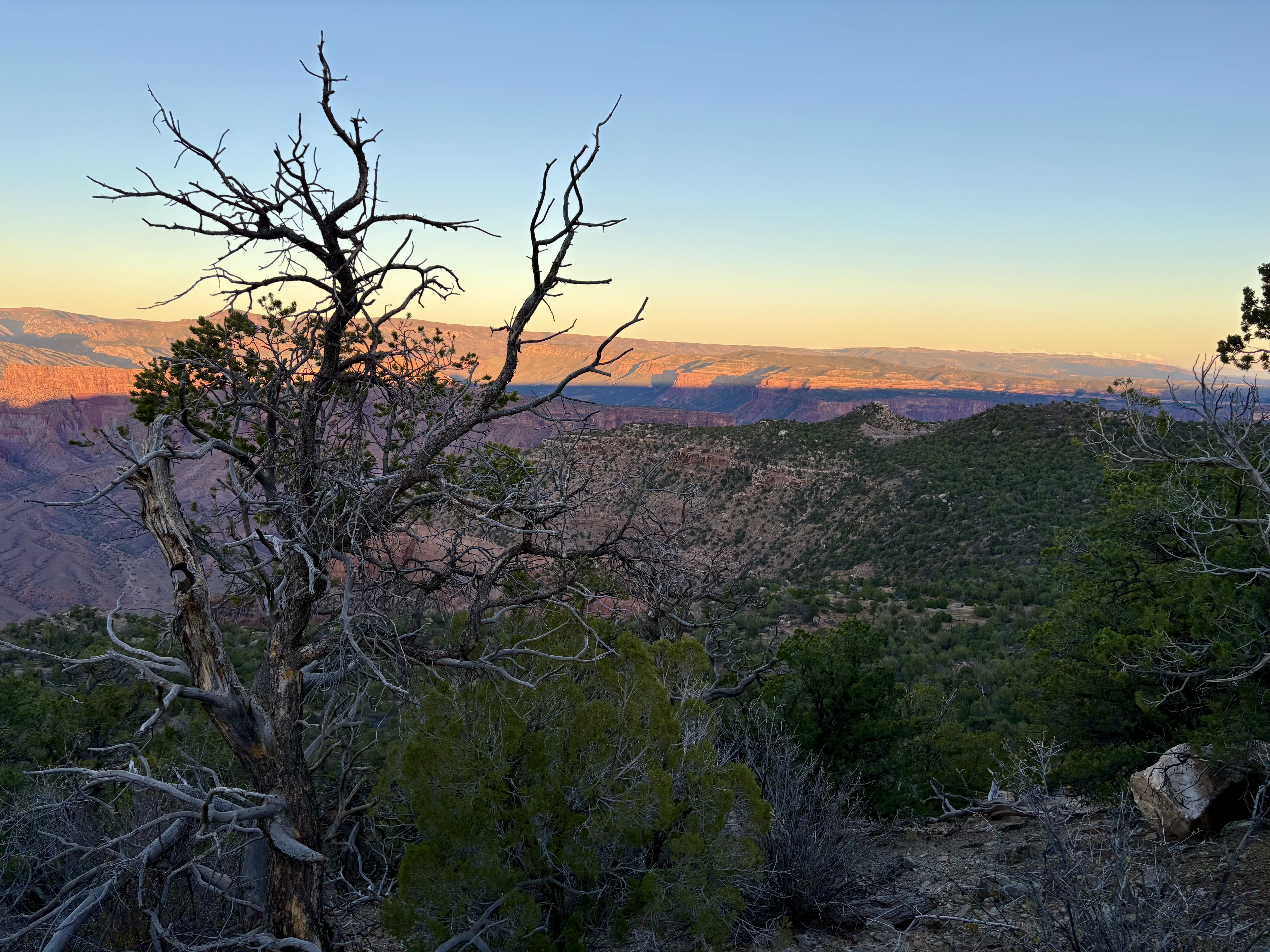
There is a nice camping area at the top end of the Dolores Point airstrip, large enough for several aircraft at a time. Short walk to the canyon rim and spectacular overlook.
We haven't written a history for this airstrip yet. If you would like to provide us with some information about this strip, please contact us today!