All Airstrip Reports
Castle Creek Airstrip sits atop a mesa, about 5 miles from Cal Black Airport. The airstrip is pretty close to, but above and out of view, from paved Highway 276. Didn’t land, but it looks like there is enough sparse vegetation that would need to be cleaned up to make the airstrip useable. The views from the mesa where the airstrip sits are incredible.
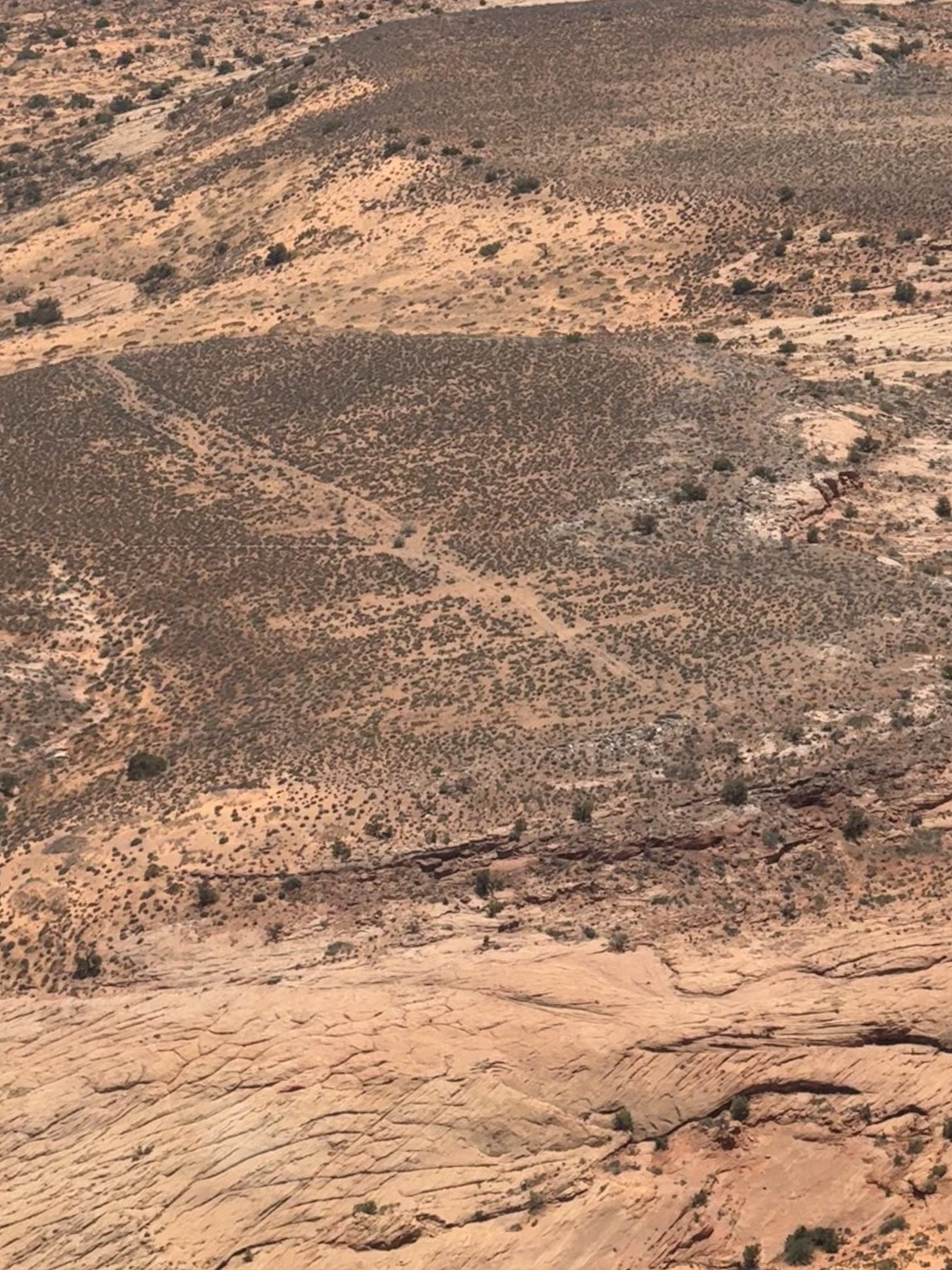
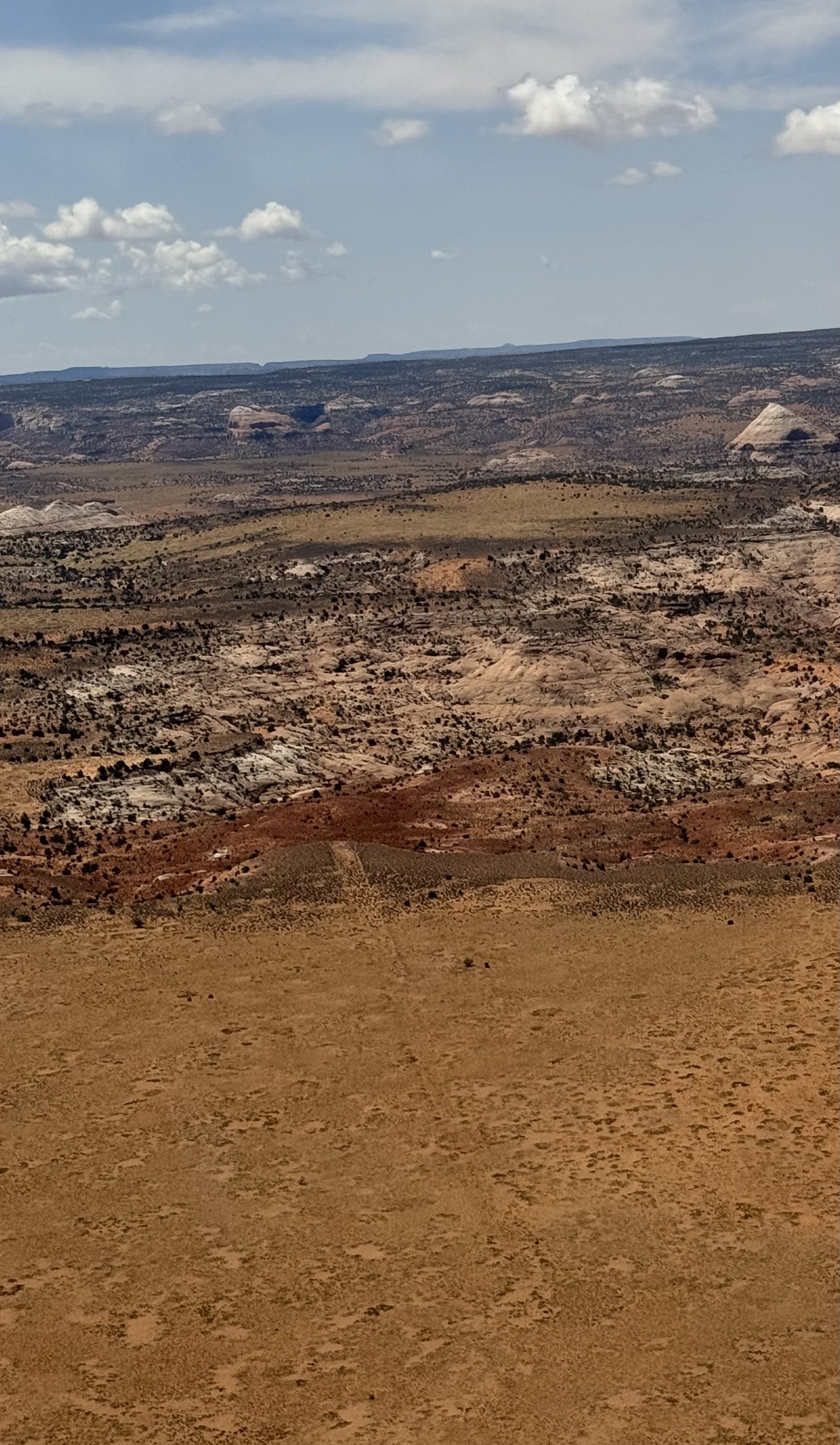
Burr Point Airstrip sits on top of a Mesa that overlooks the Dirty Devil River drainage. The runway is at an angle to the dirt road that runs along the canyon rim. The runway surface looked to be fairly overgrown and would need some brush removal to be useable by most backcountry airplanes. It looks like there could be some good hikes down into the adjacent canyon and would be a stunning place to camp under the stars, with Navajo Mountain in the background.

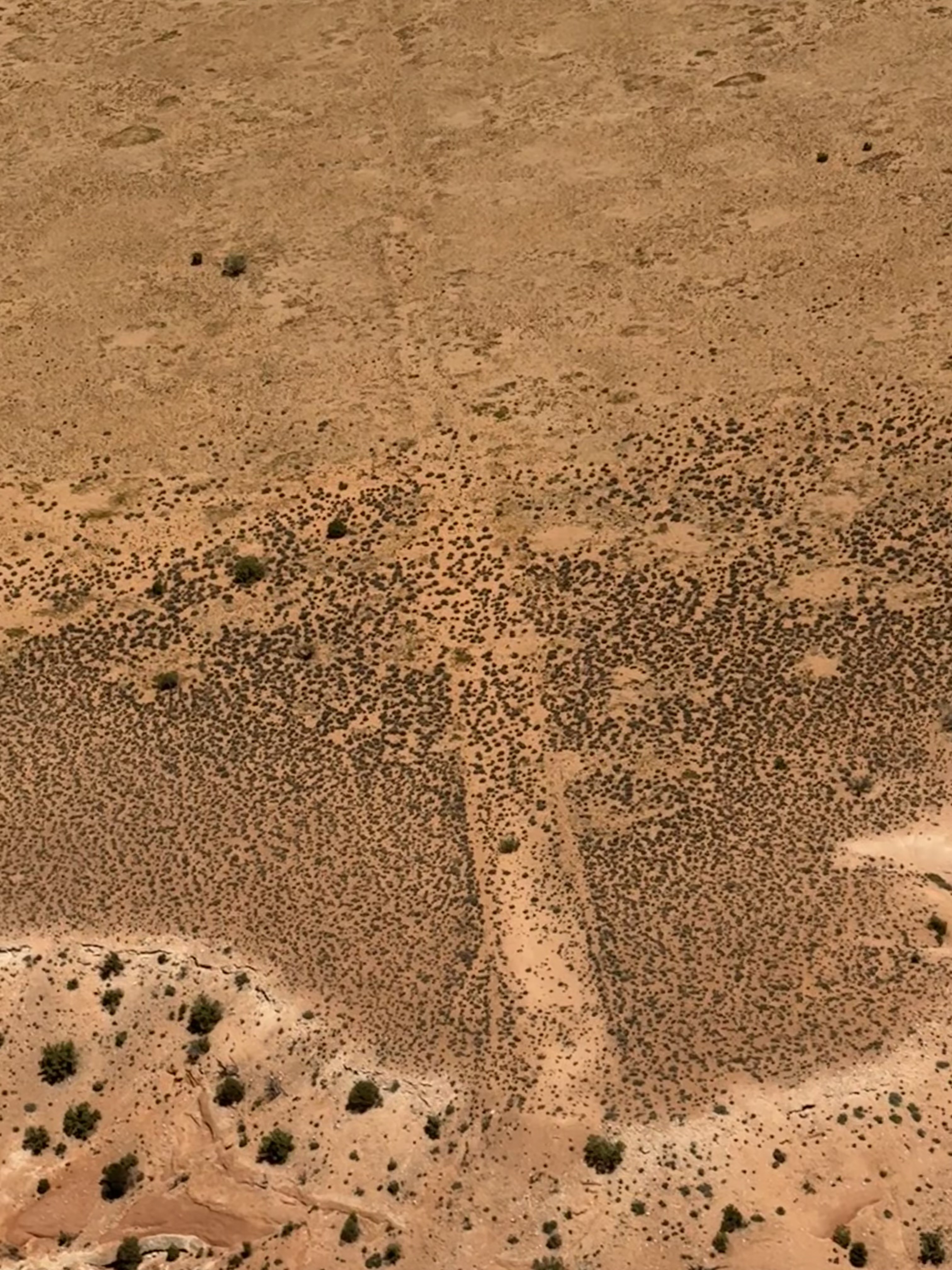
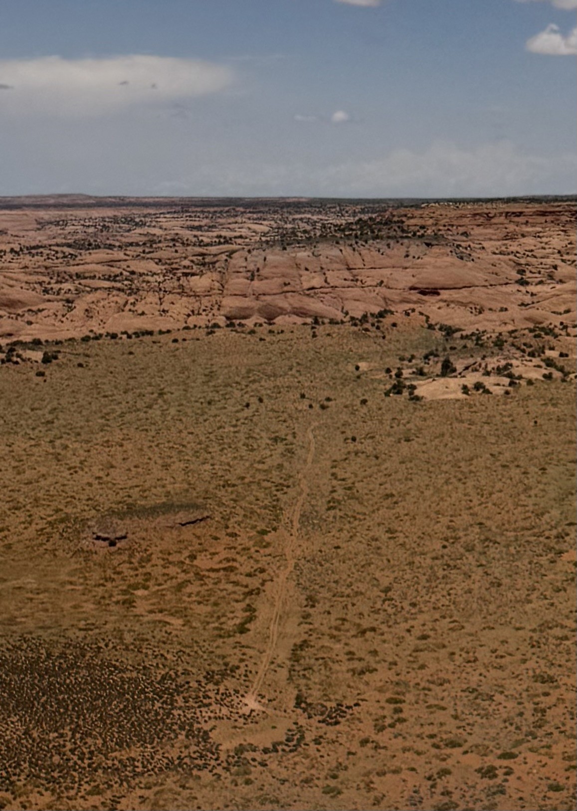
Sam’s Mesa is co-located on the BLM road that leads to Happy Canyon Overlook. There are ATV tracks that wiggle down the middle of the airstrip, probably indicating that the soil might be uneven or soft. This airstrip is mentioned as an airstrip in the Henry Mountains TMP and might be a good candidate to work with the BLM on a plan to make the airstrip more useable.
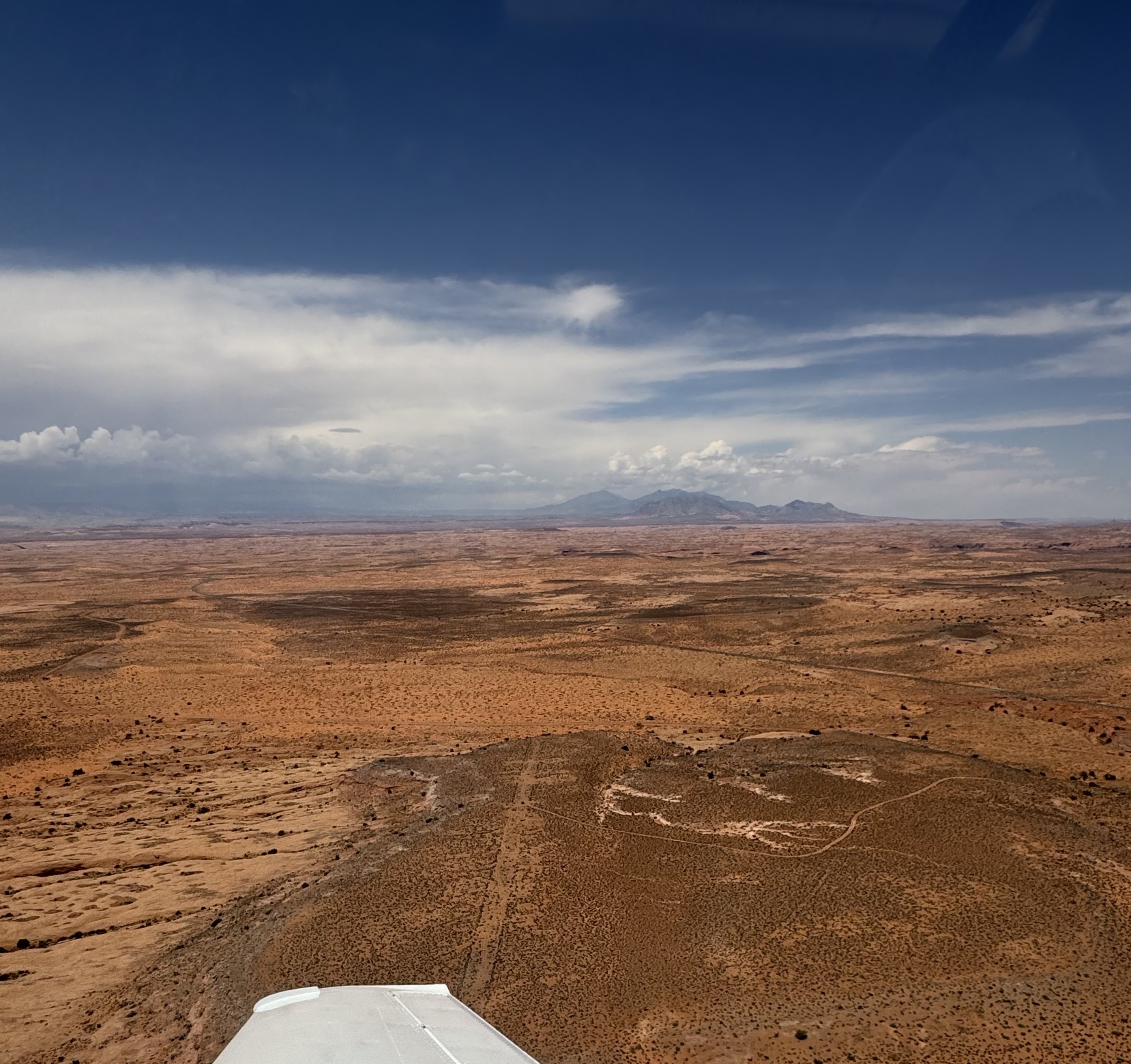
The Moqui Fork airstrip is visible from the air. The south end looks like it has some sagebrush and the middle and northern end looks more grassy. Did not get low enough to see which part of the airstrip might be best for landing. It looks like an airstrip where a skillful pilot could land a big tire Cub. The surrounding landscape is spectacular and I hope that the UBCP can work with the BLM to successfully open Moqui Fork airstrip for use.